
Summit tour · Niederrickenbach
Brisen
A long T3 round tour from Niederrickenbach via Ahorn and the Haldigrat to the beautiful Nidwaldner Pyramid – back via Steinalper Jochli and Brisenhaus.
- Difficulty
- T3
- Time required
- approx. 7 hours
- Distance
- 13.5 km
- Ascent
- 1’420 km
- Descent
- 1’420 km
- Highest point
- 2’404 m
- Starting point
- Niederrickenbach, 1’162 m
- Season
- June – October
From the Engelberg Valley Hiking Guide
Nidwaldner Pyramid
Many locals call this beautifully shaped pyramid their favorite mountain. In winter, it is always covered in white and protrudes far above the villages. When the snow melts, the Brisen transforms into a popular hiking destination with breathtaking views of Lake Lucerne.
To reach the summit, you can take the Niederrickenbachbahn back to the first part of the trail. From there, follow the road towards Ahorn 1340 m above sea level, where you take the slightly descending path just before the huts. Passing the Chrüzhütte, you reach the Haldigrat and follow this beautiful ridge to the summit. Down the east side you go to the Steinalper Jochli and from there to the Brisenhaus, where you can refuel again. From there, follow the hiking trail back to Niederrickenbach.
Step by step
Route description
Niederrickenbach and Ahorn
From the mountain station, follow the road towards Ahorn and shortly before the huts take the slightly descending path.
Chrüzhütte and Haldigrat
After passing the Chrüzhütte, you climb up to the Haldigrat.
Over the ridge to the Brisen
The wide, promising ridge leads up to the 2’404-meter-high summit.
Steinalper Jochli and Brisenhaus
The path descends down the east side to the Steinalper Jochli and continues to the SAC hut.
Return to Niederrickenbach
From the Brisenhaus, follow the marked hiking trail back to the mountain station.

Orientation
Overview Area Niederrickenbach–Brisen–Buochserhorn

Appreciate realistically
Requirements
- Very good condition for seven hours and 1,420 meters of elevation gain
- Climbing safety on T3 mountain trails
- Vertigo-free hiking and safe orientation on the ridge
Good to know
Information about the tour
- The Haldigrat is long and exposed to the elements.
- The Brisenhaus is ideal for a late lunch or overnight stay.
- Check operating hours of the Dallenwil–Niederrickenbach cable car.
Important: Check the weather, current trail conditions, and the operation of the required mountain railways immediately before the start.
Further goals
Similar hiking tours
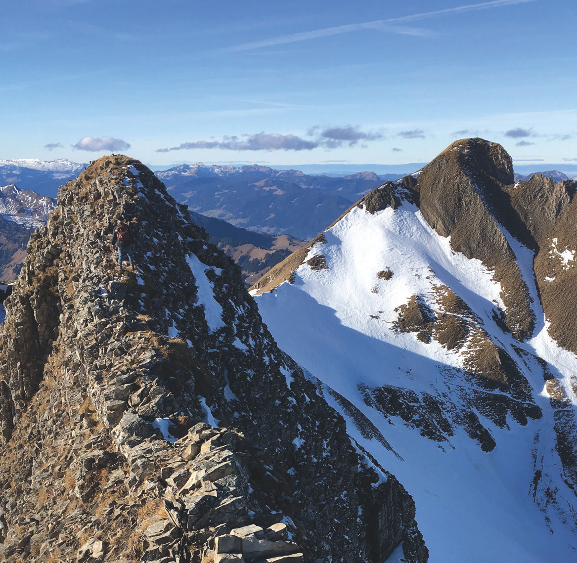
Hoh Brisen
A wild T5 variant at the Brisen: over Haldigrat and Brisen to the unbridged connection ridge to Hoh Brisen, which is very exposed just before the summit.
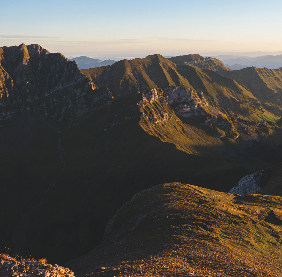
Risetenstock
A long T3 round over the Brisenhaus and the perfectly shaped Glattigrat towards the Risetenstock – particularly impressive in the golden autumn light.
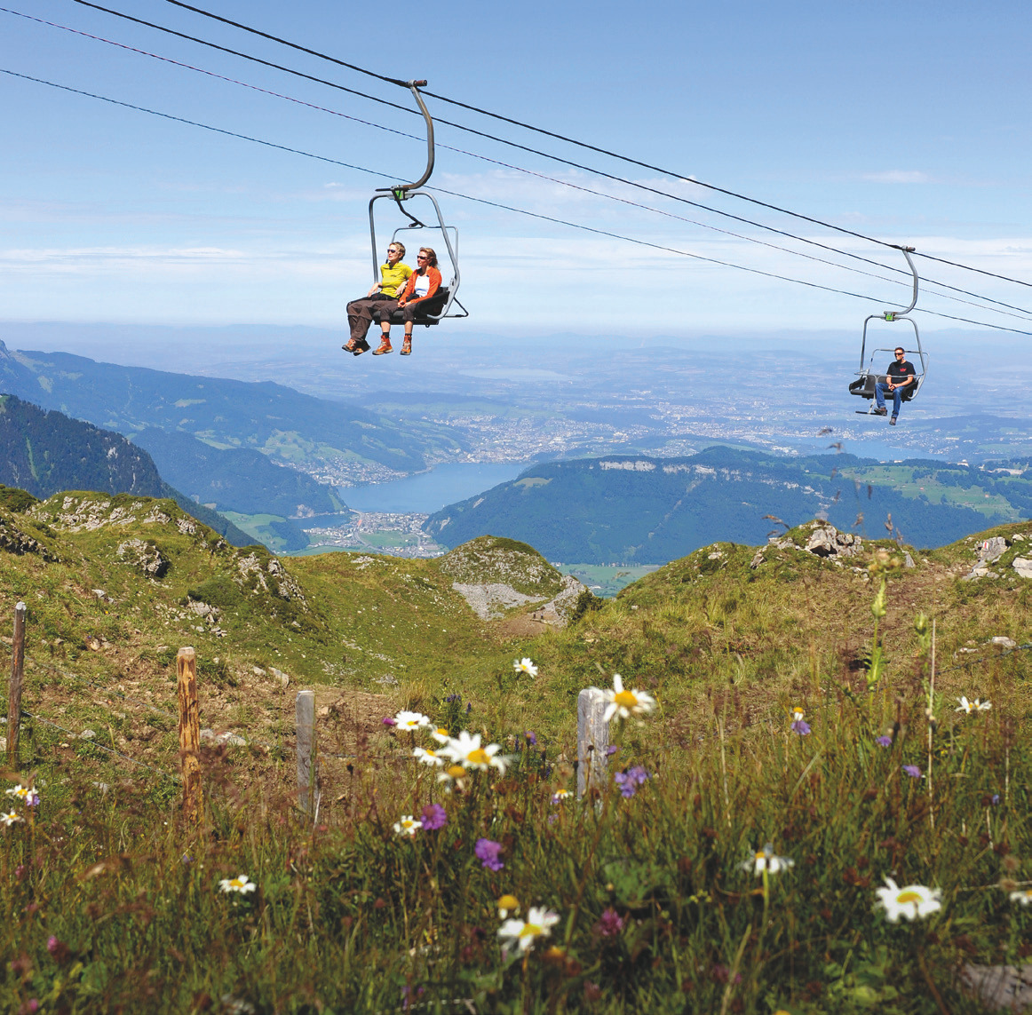
Siebner Tour
The full Bähnli program: a varied T2 tour with three slopes, four stations, Haldigrat, Brisenhaus and Musenalp.


