
Mountain hike · Oberrickenbach–Brisen
A zigzagging path
Take the nostalgic Spies-Bähnli to Sinsgau and on the distinctive zigzag path to Brisen – a long public transport journey with several descent options.
- Difficulty
- T3
- Time required
- approx. 4.5–5 hours
- Distance
- 11 km
- Ascent
- 800 hm
- Descent
- 1’290 km
- Highest point
- 2’404 m
- Starting point
- Oberrickenbach, 1’155 m
- Season
- July – October
From the Engelberg Valley Hiking Guide
Buirebähnli highlight
For those who enjoy starting their tours with a nostalgic train ride, this is the perfect option! With two small cable cars, you head to Sinsgau. From here, you follow the well-signposted hiking trail in a steady zig-zag on the Brisen. Those who prefer not to descend much have the option of taking the cable car from Haldi to Niederrickenbach. For everyone else, we recommend the descent via Steinalpler–Jochli, Brisenhaus & Niederrickenbach. Don’t forget the money for the cable cars.
Step by step
Route description
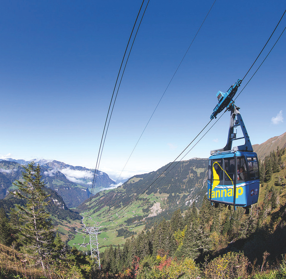
Spies-Bähnli from Oberrickenbach
Two small cable cars take hikers up to Sinsgäu in two sections.
In a zigzag towards the Brisen
From Sinsgau, follow the well-marked path through many turns to the Brisen.
About Steinalpler Jochli
The long descent leads through the Steinalpler Jochli and the Brisenhaus.
Haldigrat variant
Anyone who wants to save time and money can take the lift to Haldigrat and then use the chairlift to Niederrickenbach.

Orientation
Overview Area Oberrickenbach–Bannalp–Brändlen

Appreciate realistically
Requirements
- Very good condition for the long descent
- Climbing safety on T3 mountain trails
- Well-planned rail and public transport connections
Good to know
Information about the tour
- Please bring cash for the private buirebähnli.
- The descent via Brisenhaus and Niederrickenbach is significantly longer than the ski lift variant.
- In fog, orientation in the summit area is more challenging.
Important: Check the weather, current trail conditions, and the operation of the required mountain railways immediately before the start.
Further goals
Similar hiking tours
Bannalp Station
The leisurely ascent from Oberrickenbach via Eggeligrat and Firnhütt to the Bannalp ideally ends at Älplermagronen and a knee-friendly train ride.

Bannalpsee Round
A simple and well-traveled round around the Bannalpsee with stops at Oberfeld Alp – ideal for a relaxing Sunday in the mountain world.

Zwärgliweg Bannalp
Seven adventure stations, fire stations and the Bannalpsee make the Zwärgliweg an easy family outing in the mountains.


