
Alpine hiking · Fürenalp
Wildererweg to the Fürenalp
One of the steepest trails in the region: historic, direct, and uncompromising.
- Difficulty
- T4
- Time required
- about 2 hours
- Distance
- 3.1 km
- Ascent
- 850 hm
- Descent
- 85 km
- Highest point
- 1’840 m
- Starting point
- Furenalp valley station
- Season
- June – October
From the Engelberg Valley Hiking Guide
Wildererweg to the Fürenalp
The hiking trail is relentless! It leads steeply up to the Fürenalp and is suitable for fit hikers as a training route. The route offers numerous fantastic vantage points and provides breathtaking views of the Fürenwand.
Along the way, one passes the famous Hohmatthütte, known as a power spot. 100 years ago, this path served as a way to access alpine meadows and mountain pastures. Due to poor visibility from the valley, it was named the «Wildererweg,» as it concealed not only the wild animals but also the hunters.
Step by step
Route description
From the valley station
From the Fürenalp valley station, follow the steep mountain path towards Hohmatt. The very first ascent already shows the character of the tour.
To Hohmatthütte
The historic path is rapidly gaining altitude. Short breaks are worthwhile for the panoramic view and the view of the cliff wall.
Steep up to Fürenalp
Above the Hohmatthütte, the path remains steeply and alpine-like. Caution and concentration are necessary.
Arrival at the Fürenalp
The ascent ends at the mountain station. For the return journey, it is recommended to take the train downhill.

Appreciate realistically
Requirements
- Very good condition for a steep climb
- Climbing ability and experience on alpine mountain trails
- Dry conditions
- Previously retreat in thunderstorms or when wet
Good to know
Information about the tour
- The route is significantly more challenging than its short distance suggests.
- In wet conditions, the risk of slipping increases significantly.
- Check the timetable and the last run of the Fürena cable car in advance.
Important: Times, difficulties, and road conditions may change. Check current weather, train, hut, and trail information before starting.
Further goals
Similar tours in the Suren Valley

Grotzliweg in Fürenalp
A nature trail for families and anyone who wants to take a closer look.

Sourcesweg Day Barn
A peaceful ascent through Quellen, a historic slate quarry and the Alp Tagenstall.
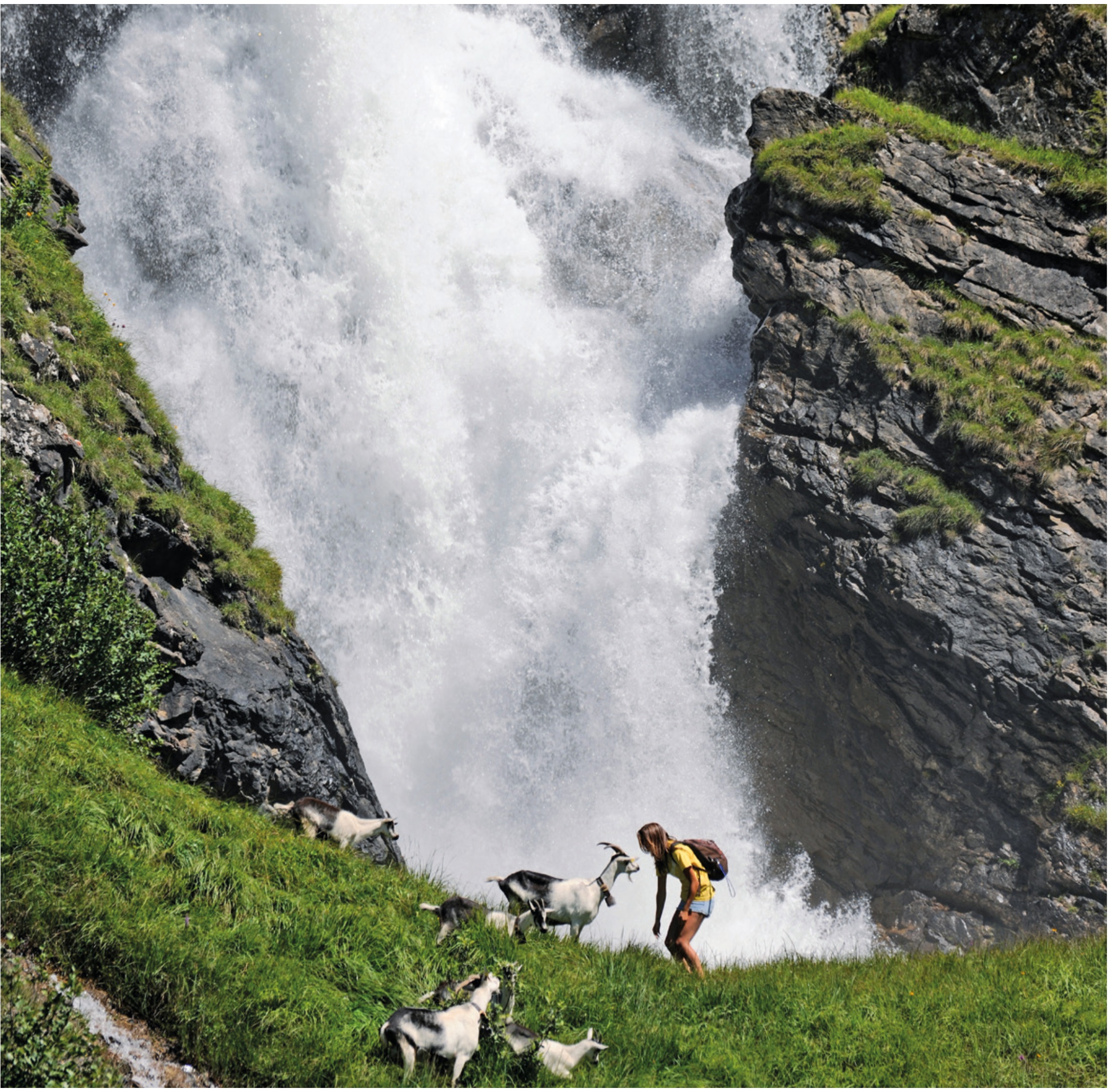
Stäuberweg Fürenalp
This regional classic combines waterfalls, the Alps and the vast panorama of the Surren Valley.

Wissberg 2’627 m
Short crevasses, a airy ridge crest and a panorama of exceptional quality.


