
Paragliding · Landing area · Engelberg
Paragliding landing area Fürenalp valley station
The hiking trail starts at the Fürenalp valley station at the end of the Engelberg valley. The guide describes it as slightly sloping and long.
- Place
- Engelberg
- Type
- Landing place
- Height
- 1’095 m according to the Fürenalp Flight Area Table
- Data basis
- Guide 2023
Orientation
Landing area & approach
Visit the local landing area. The pasture can change the usable area; pay attention to the cows and the actual obstacles.
From the flight guide
Map, Volten & Pictures
The graphic includes the original markings of the 2023 guide. Wind-dependent obstacles, obstacles, landing area, and usage rules before the flight on site are confirmed.

Clarify before landing
Important notes
- Cattle or pasture farming possible.
- The illustration dates back to 2023 and does not replace the current meadow clearance assessment.
After landing
Wrinkles & Return Journey
Short return journey to the Fürena cable car. Check the bus service to Engelberg in advance.
Suitable starting positions
Related flight areas
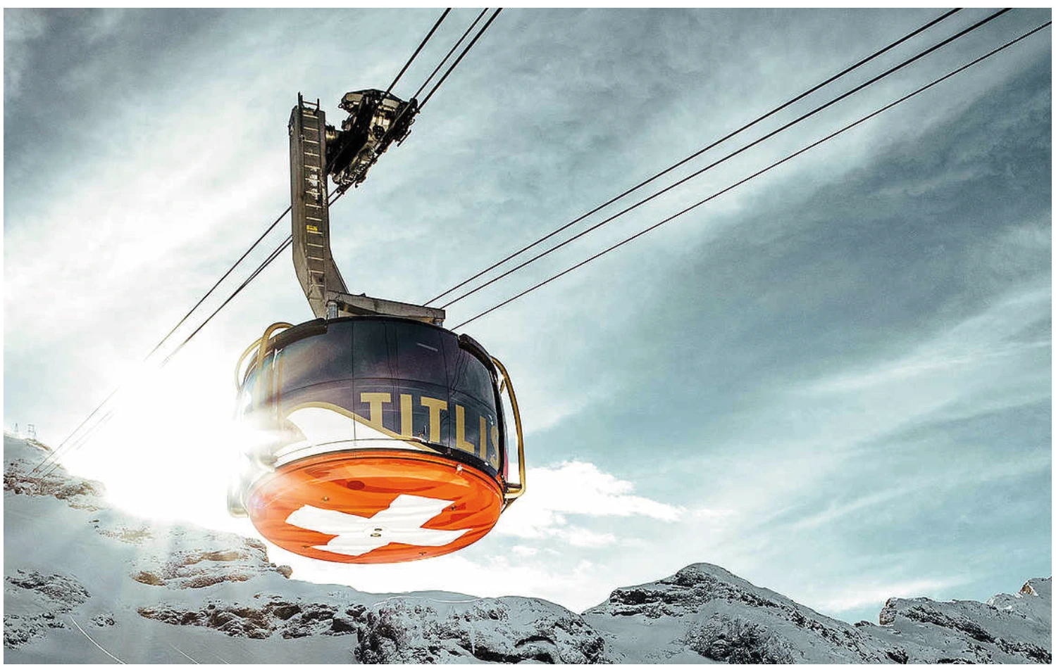
Titlis
From Titlis, the flight takes off from the high mountains into the Engelberg Valley. The takeoff from the west ridge is on frozen ground and requires alpine experience as well as careful assessment of wind, snow, and crevasses.
View details ↗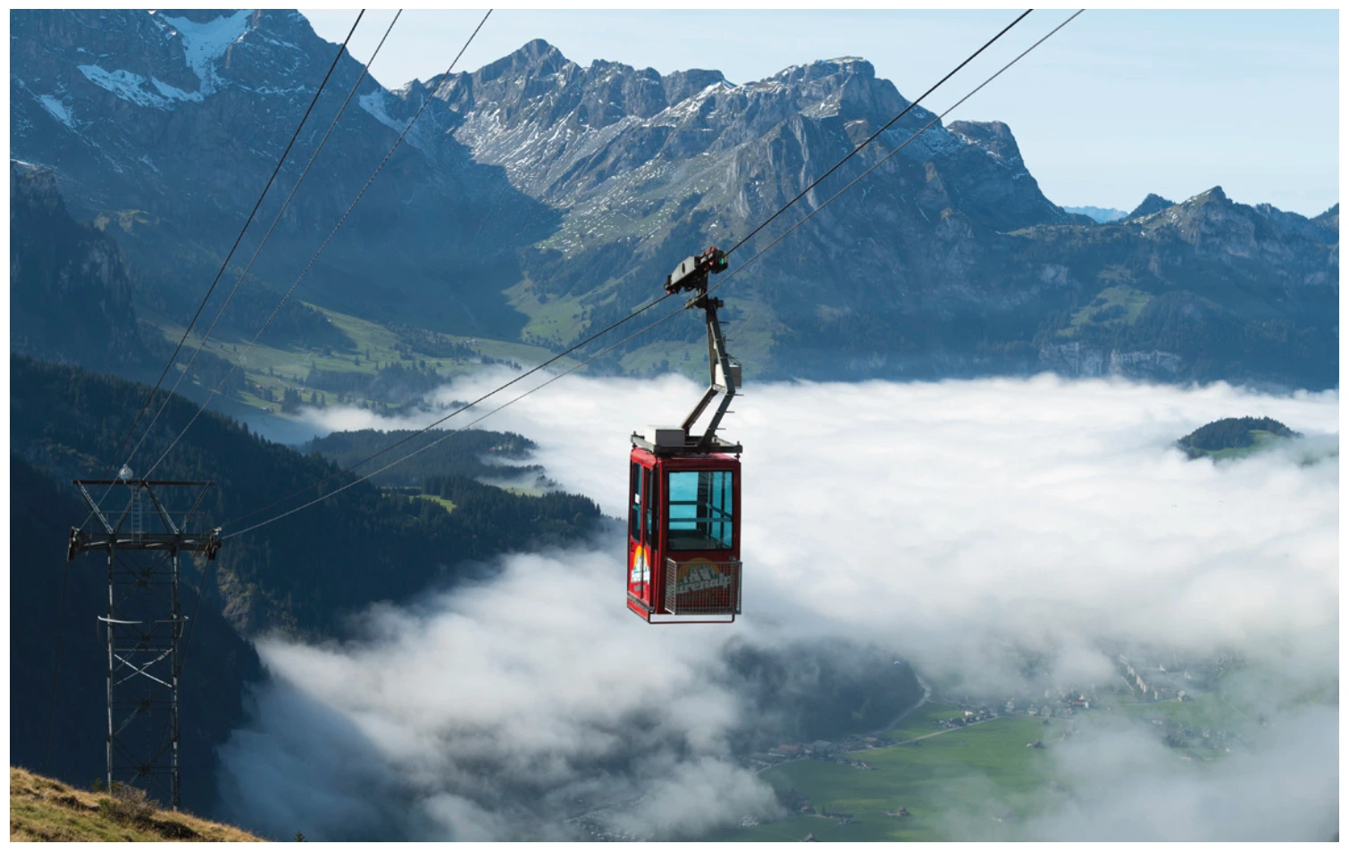
Fürenalp
The Fürenalp is located at the end of the Engelberg valley, opposite Titlis and Spannort. From the small cable car, you reach the starting area in a short walk; as you descend, the guide describes the valley station and the Engelberg village.
View details ↗Further planning
Sources & current information
Basis: Flugguide Engelbergertal, Erich Lötscher & Dani Perret, 1st edition 2023, pages 56. Text has been revised for this overview by the editorial team. Photos, maps and labeled topographic maps from the provided guide; source of maps according to the imprint: Federal Office for State Topography / © swisstopo. The image captions reflect the current status as of 2023.




