
Paragliding · Engelberg
Paragliding Fürenalp – Launch sites & flight area
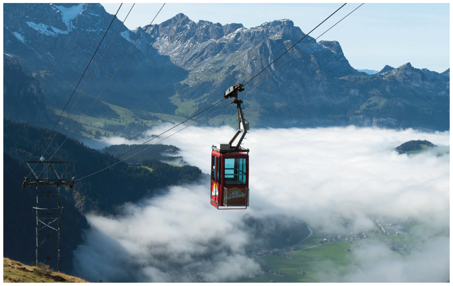
The Fürenalp is located at the end of the Engelberg valley, opposite Titlis and Spannort. From the small cable car, you reach the starting area in a short walk; as you descend, the guide describes the valley station and the Engelberg village.
- Region
- Engelberg
- Starting places
- 1
- Takeoff altitudes
- 1887 m according to the guide
- Exploration
- Cableway and footpath
- Ground base
- Flight Guide 2023
- Airspace
- Check current conditions before every flight
From the flight guide
The flight area
The Fürenalp is located at the end of the Engelberg valley, opposite Titlis and Spannort. From the small cable car, you reach the starting area in a short walk; as you descend, the guide describes the valley station and the Engelberg village.
The guide describes thermals and soaring in the afternoon and evening towards Wissberg, and at appropriate altitudes, connections to hawks and falcons. Strong valley winds can make flying into the village difficult.
To the starting point
Arrival & Check-in
To the Fürenalp valley station at the end of the Engelberg valley. Bus connection from Engelberg station and current status of the railway currently being checked. From the mountain station, the guide says that it takes about 15 minutes to get there.
Space for space
The starting positions
Fürenalp
Meadow above or in the vicinity of the mountain station; exact location can be found on the area map.
- Height
- 1887 m (Guide 2023)
- Orientation
- Conflicting information in the PDF – clarify it on site
- Coordinates
- 678’417 / 184’205 (LV03, book entry)
- boarding
- about 15 minutes
- underground
- Grass
Pasture farming and cows. The text refers to South / South West, while the data table refers to East / Southeast; neither of these two statements is accepted as a starting recommendation without verification.
Orientation
Maps, Topos & Images
All associated graphics from the flight guide are fully reproduced here with their labeled instructions. Maps and topographic maps are displayed in their original aspect ratio. Labels, cable instructions, and markings: as of 2023.



Set goals before starting
Landing places
Choose a suitable and permissible landing before takeoff. The places linked here are area options and do not guarantee the availability of any landing spot.

Furenalp valley station
The hiking trail starts at the Fürenalp valley station at the end of the Engelberg valley. The guide describes it as slightly sloping and long.
View details ↗
Engelberg Village / Wyden
The playing field at the Wyden sports ground is located along the Engelberg Aa. The artificial turf of the football field does not belong to the playing field.
View details ↗Appreciate realistically
Requirements & Notes
- The starting direction is contradictory in the PDF. Clarify with local authorities before a flight and based on the situation on the ground.
- For several flights on the same day, landing near the valley station is the short return mentioned in the guide.
Further planning
Sources & current information
Basis: Flugguide Engelbergertal, Erich Lötscher & Dani Perret, 1st edition 2023, pages 54, 55, 56, 57, 62. Text has been revised by the editorial team for this overview. Photos, maps and labeled topographic maps from the provided guide; source of maps according to the imprint: Federal Office for Land Surveying / © swisstopo. The image captions reflect the current status as of 2023.
← To the paragliding overview EngelbergertalAll paragliding contributions




