
Hike & Fly · Brisen · Engelberg Valley
Giri – Hike & Fly
The Giri above Wolfenschiessen can be reached by the Brändlen Bahn and a subsequent hike. The 3.5 km long tour is indicated as 700 hm ascent and 2 h.
- Difficulty
- T2
- Distance / Meter of altitude
- 3.5 km · ↑ 700 hm / ↓ 0 hm
- Time
- 2 hours
- Starting background
- Grass with cow dung
- Elevation information
- 519 / 1872 m above sea level.
- Best time
- May–November
- Star exposure
- S–W
- Material
Tour map · Giri

Starting point and entrance
The map shows the ascent by the Brändlen Bahn and the subsequent ascent over Brändlen to Giri.
Route description
The short route leads high above the Engelberg Valley to Giri, also called Gigi. The ascent is indicated as 3.5 km, 700 hm and 2 h.
Takeoff, flight and landing
From the grassy starting position you glide back to Wolfenschiessen. The starting area is uneven due to the steep slopes.
Safety and conditions
Check the current operation of the Brändlen Bahn before your arrival. The operation and payment of the train must be checked on site.
Check the weather, wind, thermals, current airspace, and temporary restrictions before the tour. Ensure start and landing options as well as the return route in case you cannot fly. The maps show the route; local signs and current area information should be checked before the flight.
Briefly answered
Questions about the tour
Where does the Giri tour begin?
The map shows the ascent by the Brändlen Bahn and the subsequent ascent over Brändlen to Giri.
How long is the tour and how much time do I need?
The route is stated to be 3.5 km long, 700 hm uphill, 0 hm downhill and 2 hours long.
Where can I start and land?
From the grassy starting position you glide back to Wolfenschiessen. The starting area is uneven due to the steep slopes.
What dangers are to be considered?
Check the current operation of the Brändlen Bahn before your arrival. The operation and payment of the train must be checked on site.
Continue planning
Other Hike-and-Fly tours

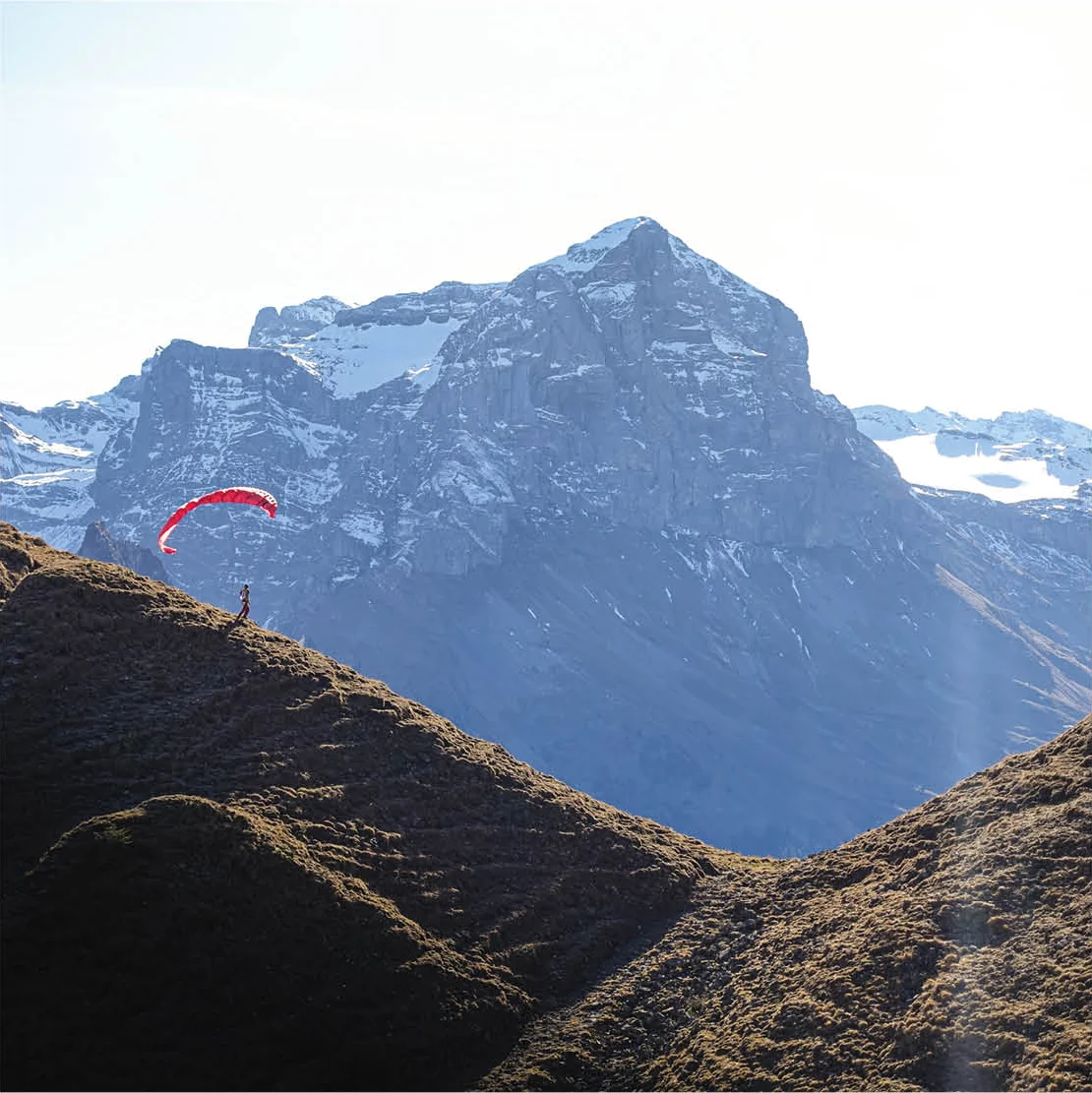
Photos of the tour

Experience from the Engelberg Valley
The authors
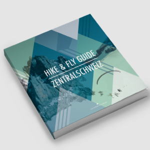
Hike & Fly Guide Central Switzerland
From hiking ascents to alpine climb-and-fly routes: more hiking ideas from Julian Fürsinger, Jonas Käppeli and Dani Perret.
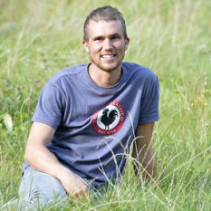
Daniel Perret
Daniel, usually called Dani, is a UIAGM/IFMGA mountain guide in Engelberg. As a mountain guide, father of a family and mountain sports enthusiast, he is active in the Engelberg Valley and shares his hiking expertise here.

Jonas Käppeli
Since childhood, Jonas has been traveling in the mountains. Paragliding added another dimension: mountaineering and flying are intertwined for him. When the thermic forecast promises good conditions, he takes to the air.
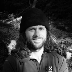
Julian Fürsinger
Julian searches for secluded corners and terrain for new projects. The paraglider expands his horizons in the mountains – from rock climbing to evening flights. He prefers to travel off the beaten path.




