
Paragliding · Niederrickenbach / Wolfenschiessen
Paragliding Haldigrat – Launch sites & flight area
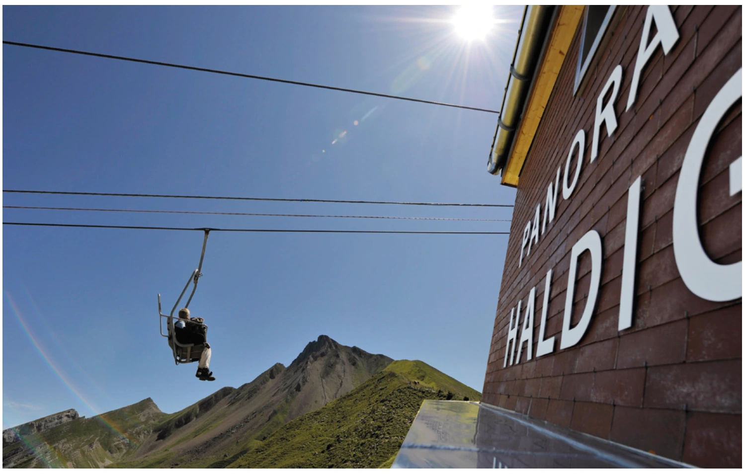
The Haldigrat lies high above the Engelberg Valley at the foot of the Brisen. The classic start towards the southwest lies in a gully in front of the Lauwistock; the path to it leads uphill from the mountain restaurant.
- Region
- Niederrickenbach / Wolfenschiessen
- Starting places
- 1
- Takeoff altitudes
- 1981 m according to the Guide
- Exploration
- Cableway and footpath
- Ground base
- Flight Guide 2023
- Airspace
- Check current conditions before every flight
From the flight guide
The flight area
The Haldigrat lies high above the Engelberg Valley at the foot of the Brisen. The classic start towards the southwest lies in a gully in front of the Lauwistock; the path to it leads uphill from the mountain restaurant.
The guide describes the route along the ridge to the thermals in the Giri area and from there possible connecting flights to Brisen. This description is a regional orientation, not a guarantee of lift or range.
To the starting point
Arrival & Check-in
From Dallenwil by cable car to Niederrickenbach. Approximately 30 minutes on foot to the valley station Alpboden and, when operated with the chairlift, to the Haldigrat. Please clarify the operating status and payment arrangements in advance.
Space for space
The starting positions
Haldigrat South-West
Steep start position in the ravine in front of Lauwistock, aligned with Oberrickenbach.
- Height
- 1981 m (Guide 2023)
- Orientation
- South-west
- Coordinates
- 676’547 / 194’972 (LV03, book entry)
- boarding
- about 10 minutes towards Brisen
- underground
- Grass
Difficult to handle in windy conditions. Especially slippery in wet conditions.
Orientation
Maps, Topos & Images
All associated graphics from the flight guide are fully reproduced here with their labeled instructions. Maps and topographic maps are displayed in their original aspect ratio. Labels, cable instructions, and markings: as of 2023.



Set goals before starting
Landing places
Choose a suitable and permissible landing before takeoff. The places linked here are area options and do not guarantee the availability of any landing spot.

Wolfenschiessen
The landing field is located on the edge of the forest near Wolfenschiessen and serves, among other things, flights from Brändlen. The summer and winter areas are marked differently in the guide.
View details ↗Appreciate realistically
Requirements & Notes
- As an additional North variant, the book mentions point 2’091. However, it does not contain a separate coordinate or a complete description of the location; you should find out more on site.
- The guide mentions cash payment at the chairlift. Examine the current payment system and operation.
- Plan the connection to the valley station Niederrickenbach for the return journey from the landing site at Wolfenschiessen.
Further planning
Sources & current information
Basis: Flugguide Engelbergertal, Erich Lötscher & Dani Perret, 1st edition 2023, pages 42, 44, 45, 46, 47. Text has been revised for this overview. Photos, maps and labeled topographic maps from the provided guide; source of maps according to the imprint: Federal Office for Land Surveying / © swisstopo. The image captions reflect the current status as of 2023.
← To the paragliding overview EngelbergertalAll paragliding contributions




