Mountain hike · Titlis–Trübsee
Round-trip waterfall Trübsee
A short, varied round over the Trübsee plateau to the bridge over the Trübseebach – particularly appealing on warm summer days.
- Difficulty
- T2+
- Time required
- about 1 hour
- Distance
- 3.5 km
- Ascent
- 210 hm
- Descent
- 210 hm
- Highest point
- 1’929 m
- Starting point
- Trübsee, 1’764 m
- Season
- July – October
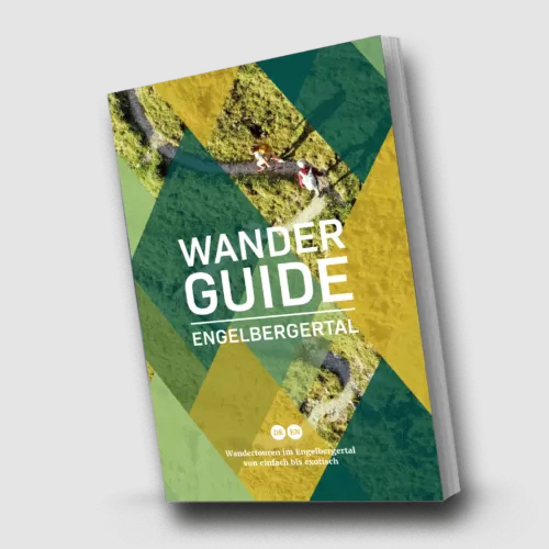
From the Engelberg Valley Hiking Guide
Waterfall Magic!
The new trail starts from Trübsee Station and leads around the large Trübsee plateau. You cross the glacier water from Steinberg at the bridge over the Trübseebach. An appealing hike on hot summer days! Thanks to Christoph Bissig for the beautiful hike!
Step by step
Route description
Start at the Trübsee station
The round starts directly at the mountain station on the Trübsee plateau.
Over the High Plateau
The hiking trail follows moderate ascents and descents through the open mountain landscape.
Bridge over the Trübseebach
The cold glacier water from the Steinberg is sure to be crossed safely on the bridge.
Back to Trübsee
The circular route ends again at the Trübsee station.

Orientation
Overview Area Titlis–Trübsee–Jochpass

Appreciate realistically
Requirements
- Basic condition for a short round with 210 meters of elevation gain
- Climbing safety on a mountain trail T2+
- Good shoes; moisture can make rocks and bridges slippery
Good to know
Information about the tour
- The amount of water can vary greatly depending on the melt and precipitation.
- Children are closely accompanied along the river, the bridge, and steeper sections.
- Check operating hours and weather conditions at Trübsee before your arrival.
Important: Check the weather, current trail conditions, and the operation of the required mountain railways immediately before the start.
Further goals
Similar hiking tours

Round trip to Trübsee
The flat loop around the Trübsee is a relaxing tour for families, strollers, and nature lovers – with four fire pits by the lake.

Sbrinz Road
Six puzzles make the journey from Trübsee Lake to Alp Untertrübsee a playful family adventure – suitable for children aged six and up.

Geological hiking trail
The themed trail from the Stand Station leads through barren alpine landscape down to Trübsee and provides information on the geological development of the Titlis area on panels.