
TRAILRUNNING · ENGELBERG → STANSERHORN ·🌶🌶🌶 HOT
Skyrun Engelberg–Stanserhorn
Engelberg is getting smaller, the slopes are getting narrower. This Skyrun takes you from the valley via the western side of Engelbergertal to Stanserhorn. It’s a good 25 kilometers of long ascents, scenic trails and rock formations where the running stride of a steady hand gives way to the fixed rope.
- Distance
- 25.9 km
- Ascent
- 2’103 hm
- Descent
- 1’282 hm
- Highest track point
- 2’055 m
- Character
- Alpine Grate
- Level
- 🌶🌶🌶 HOT
Topo, map and GPX


From Engelberg up to Lake Lutersee
The first part is about the ascent. The route from Engelberg follows the ridge up to the Zingelalp. With every meter of elevation gain, the view of the valley opens up; soon the village is far below. On the steep sections, a steady pace is worth it. The energy will be needed later.
After passing Lake Lutersee, the trail continues towards the Storeggpass. Here the tour changes its character: From the long ascent, it becomes a crossing where the next obstacle marks the way.
Over the rocks and grass towards Arvigrat
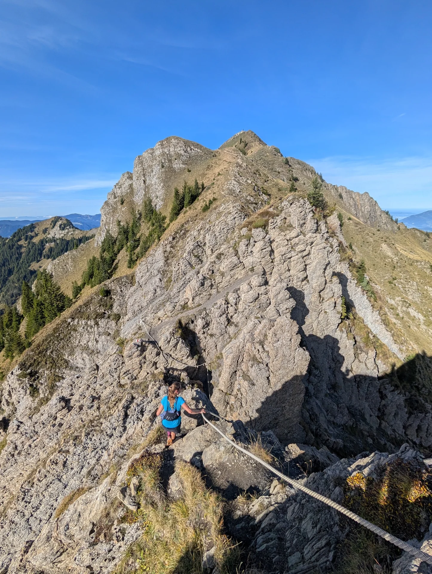
On Charen and Schluchberg, the trail is rocky and sometimes exposed. Fixed ropes help over the steep passages. Now, clean steps and a clear head count; the pace fades into the background. In between, sections open up again where it’s easy to walk at a relaxed pace.
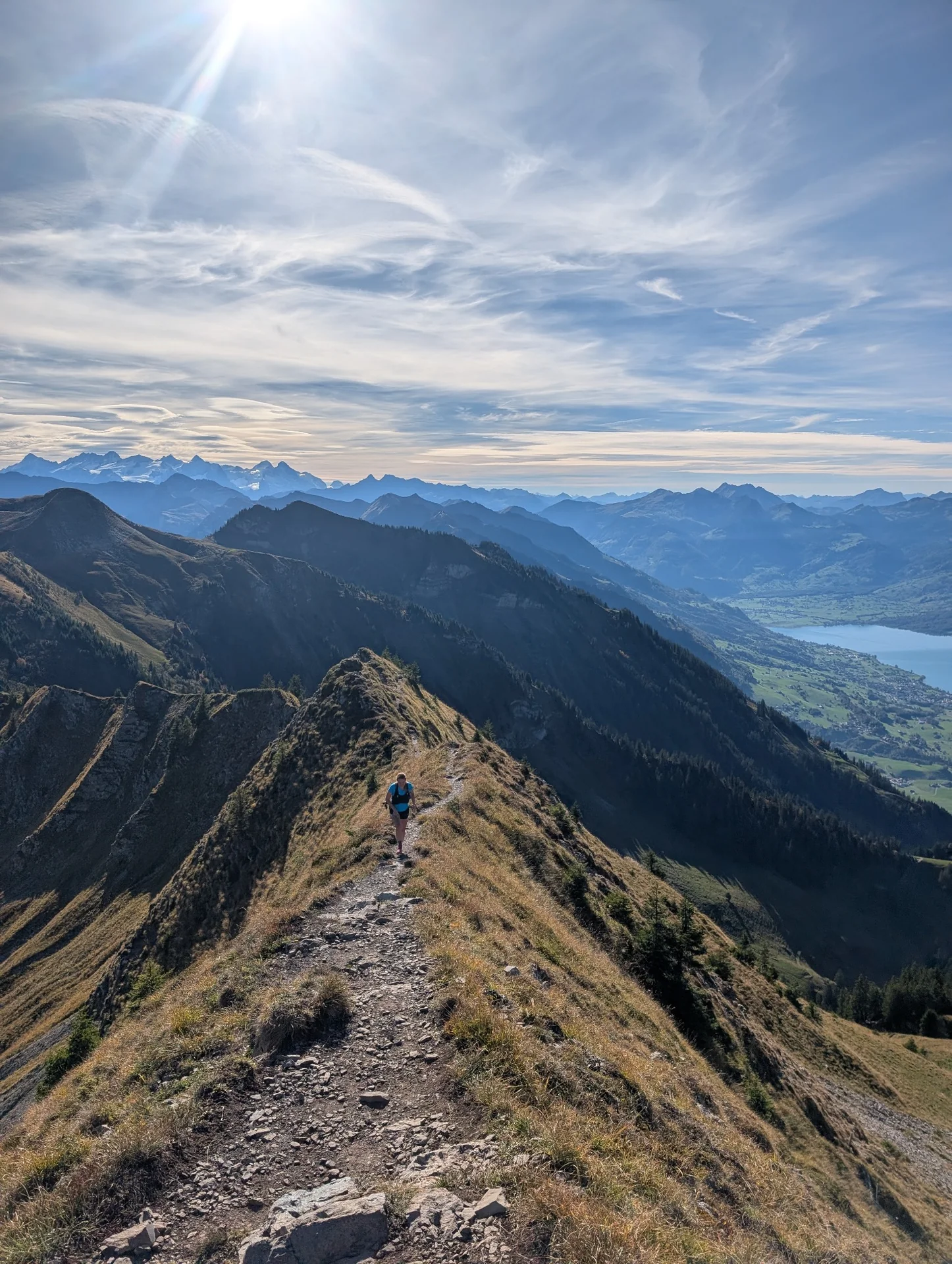
The connection to Gräfimattnollen and Arvigrat runs through the Laucherenalp. Narrow paths lead over grassy slopes, behind which the mountain ranges appear. It is this alternation that makes the tour interesting: running, climbing, stopping briefly, and gazing out over the ridges.
The last ascent to the Stanserhorn
After the descent to Ächerlipass, there is again a slight uphill climb. The goal is close, but the legs have already covered many kilometers of elevation gain. With some reserve, this section can be tackled with ease.
What you should bring for this Skyrun
Endurance alone is not enough here. You need confidence in footing, fearlessness, and experience on exposed mountain trails. The rocky areas and fixed ropes are used, and if necessary, hands are used to work them. Wet rocks, snow, or ice can make these passages significantly more difficult.
Bring enough water and food and keep spare supplies for the slow sections available. Weather protection and an offline map are essential. Before starting, check the weather and trail conditions as well as the operation of the Stanserhorn Bahn for the return journey. A one-size-fits-all duration would not be fair to the varying pace on this terrain.
Personal activity on Strava
Photos of the tour






The overshoot in the opposite direction can be found as Hiking Stanserhorn–Engelberg.




