
Paragliding · Landing site · Grafenort / Neufallenbach
Paragliding landing area Neufallenbach / Büelen
Neufallenbach is the landing site described in the guide for Büelen and an alternative for Diegisbalm and Oberalp. Several flight schools use the terrain.
- Place
- Grafenort / Neufallenbach
- Type
- Landing place
- Height
- 445 m according to the Büelen Flight Area Table
- Data basis
- Guide 2023
Orientation
Landing area & approach
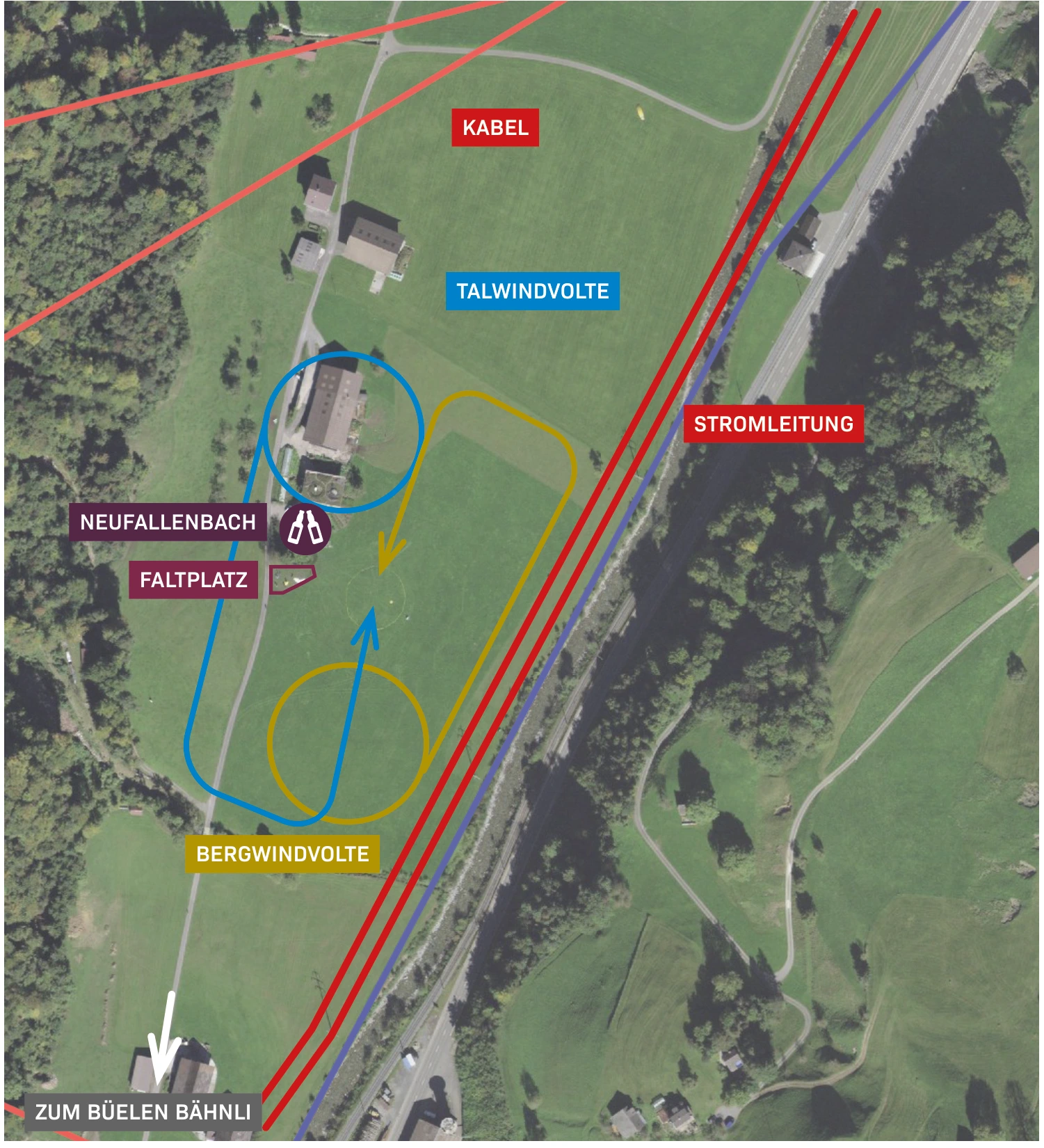
The annotated graphic shows the direction of the wind for valley and mountain winds, the folding area, the power line, the cable and the path to the Büelenbahn. Check on-site which directions and areas are currently in effect.
From the flight guide
Map, Volten & Pictures
The graphic includes the original markings of the 2023 guide. Wind-dependent obstacles, obstacles, landing area, and usage rules before the flight on site are confirmed.

Clarify before landing
Important notes
- Several cables and power lines in the approach area.
- When approaching from the direction of Engelberg, strong valley winds can significantly reduce the altitude reserve over obstacles as counterwind.
- Consideration for flight trainees and ongoing training operations.
After landing
Wrinkles & Return Journey
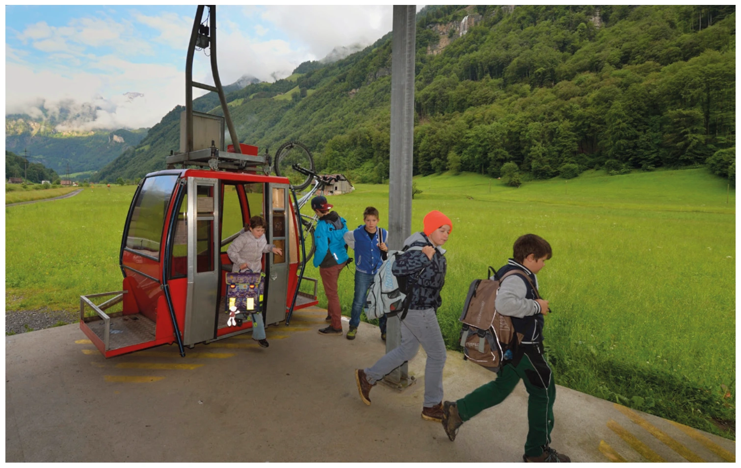
Pack in the designated folding area. The guide shows you the way to the Büelenbahn and the Hofbeizli.
Suitable starting positions
Related flight areas
Diegisbalm & Oberalp
Two small bird cliffs close off the meadows of Diegisbalm and Oberalp. The guide describes them as alternative options and explicitly does not consider them officially regulated takeoff and landing areas.
View details ↗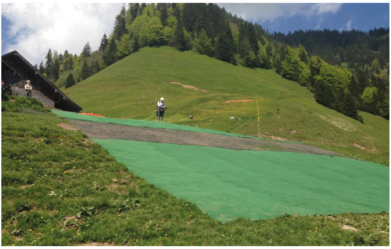
Büelen / Bielen
The take-off area is located almost directly at the mountain station of the Büelenbahn at 1’111 meters. Short distances and the landing area Neufallenbach make the area a frequently used training flight area.
View details ↗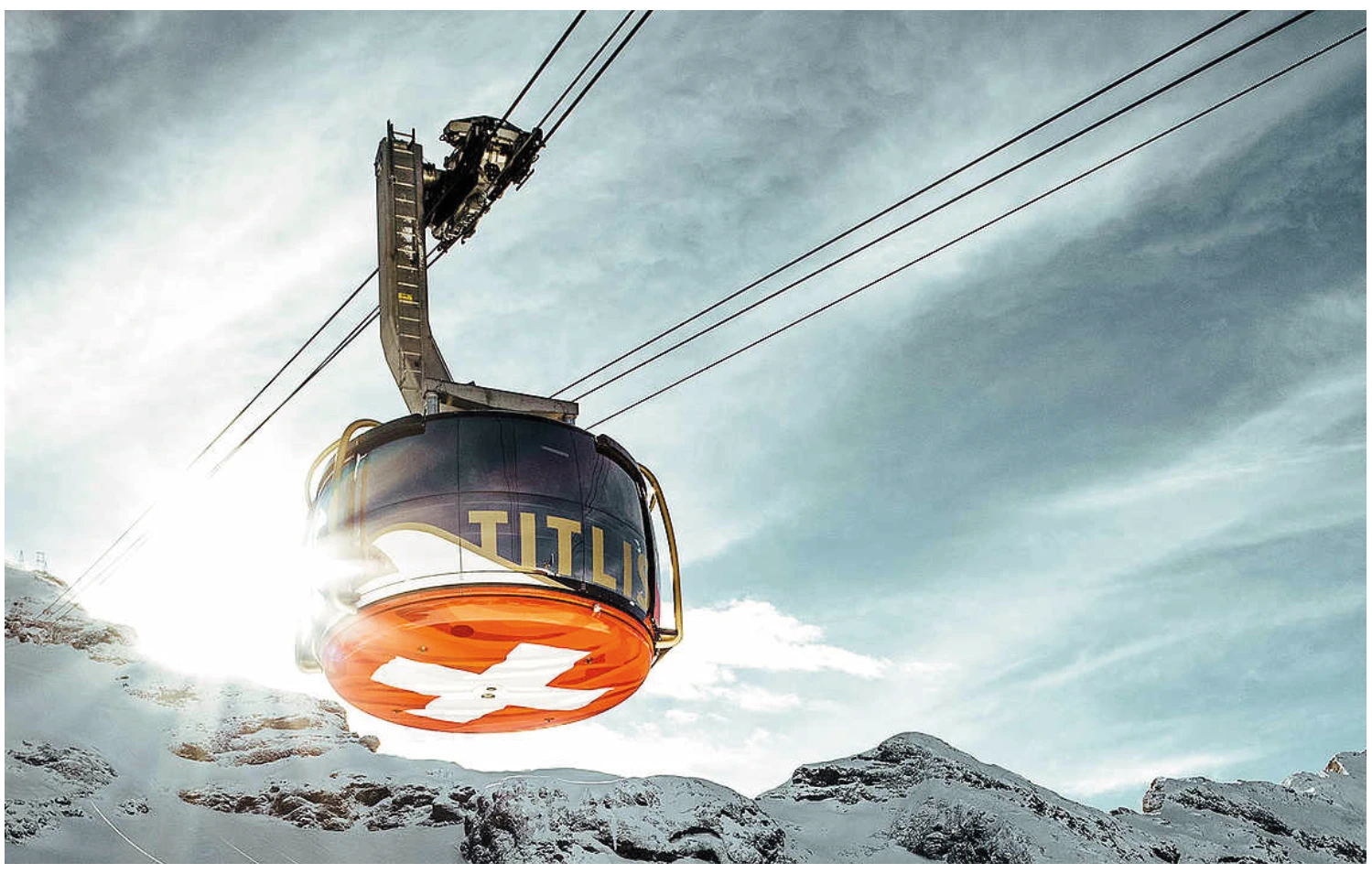
Titlis
From Titlis, the flight takes off from the high mountains into the Engelberg Valley. The takeoff from the west ridge is on frozen ground and requires alpine experience as well as careful assessment of wind, snow, and crevasses.
View details ↗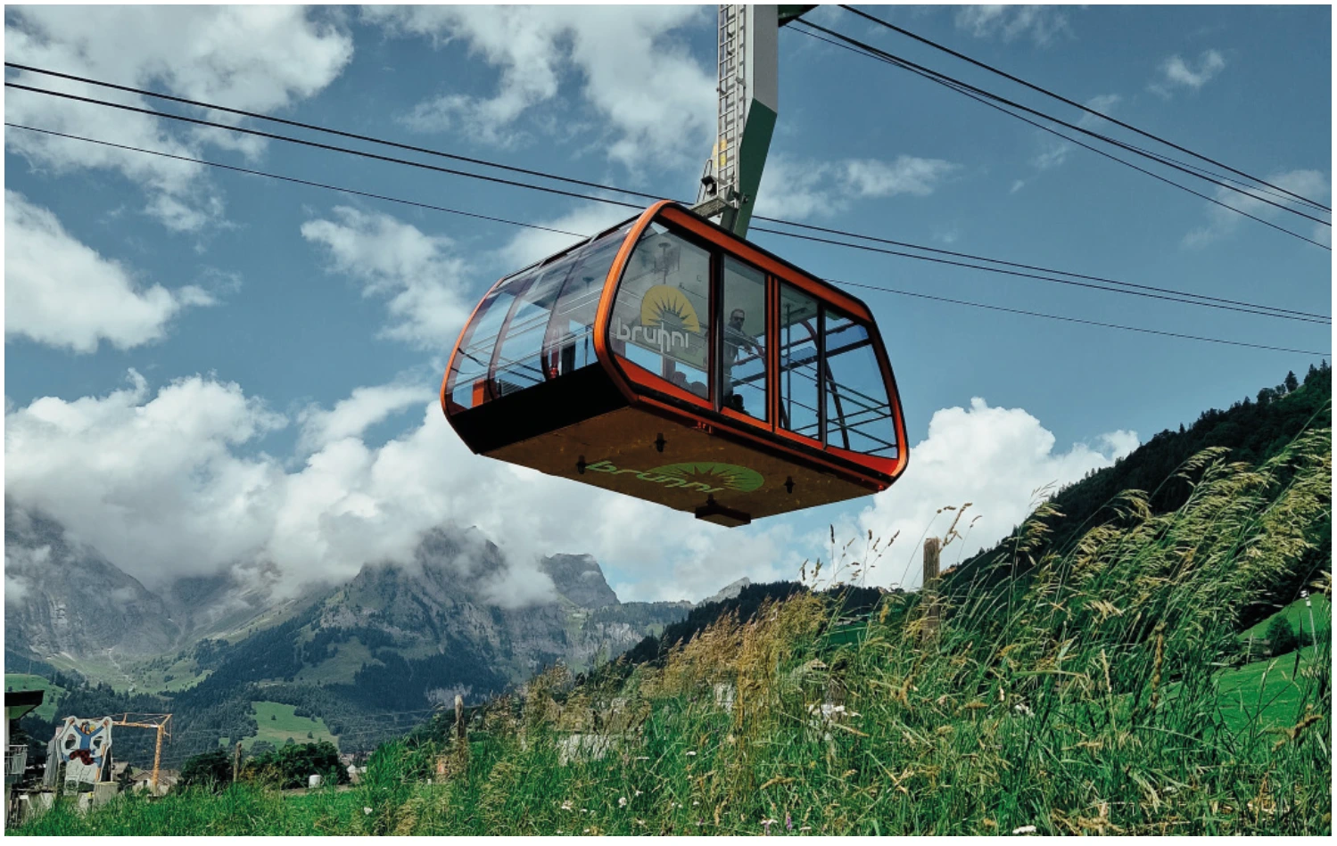
Brunni
On the sunny side of Engelberg, the three starting points are Härzlisee, Tümpfeli and Schonegg. The combination of cable car and chairlift makes the area accessible; the differences between the starting points remain decisive when choosing a starting point.
View details ↗Further planning
Sources & current information
Basis: Flugguide Engelbergertal, Erich Lötscher & Dani Perret, 1st edition 2023, pages 36, 37. Text for this overview has been revised by the editorial team. Photos, maps and labeled topographic maps from the provided guide; source of maps according to the imprint: Federal Office for Land Surveying / © swisstopo. The image captions reflect the current status as of 2023.




