Icefalls · Engelberg Valley · Engelberg Valley
Ice climbing Dallenwil – Grafenort
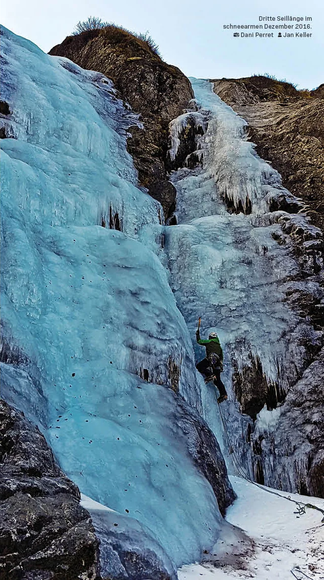
Between Dallenwil and Grafenort there are icefalls at a very low altitude. Many rarely freeze completely; longer periods of cold with high cloud cover can favor their formation. The lines described are sometimes very fragile and show only few repetitions.
- Difficulty
- WI3–6+
- Length
- 125–240 m
- boarding
- every approx. 30 minutes
- Starting point
- Altitude
- 750 m above sea level.
- Season
- December–February
- Aspect
- NE / W
- Character
- Rarely frozen ice floes
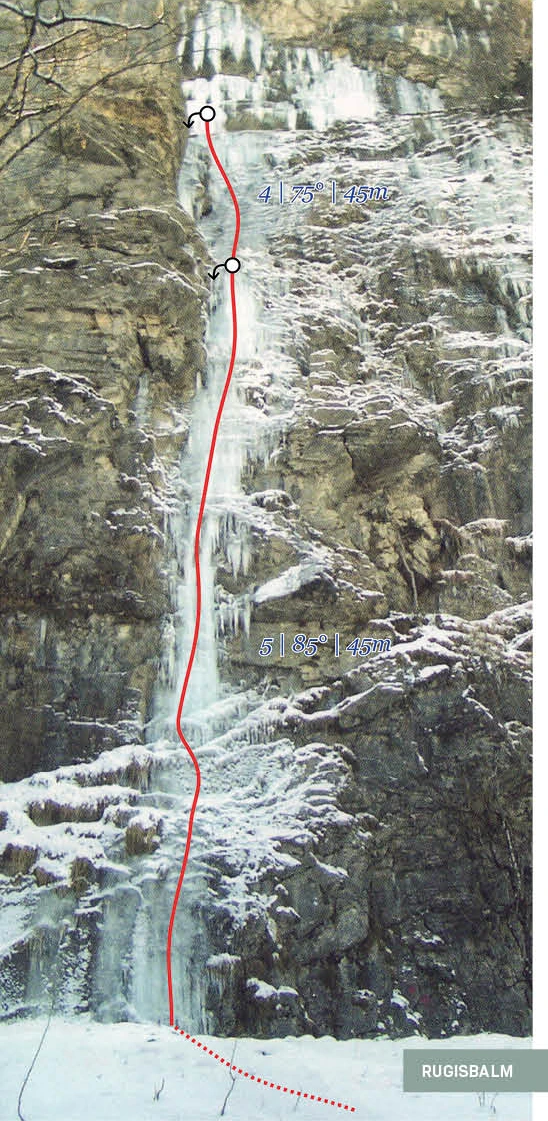
The orientation value for the area is 40–120 m. The individual routes are longer: Zitbombe 125 m, Kaida 230 m and Fallenbach 240 m. Rugisbalm consists of two 45-m-steps designated on the topo.
Starting point and access
boarding
The area map shows the location of the icefalls in the lower Engelberg valley. The approximate time for reaching each of them is indicated at approximately 30 minutes. Kaida is located on the icefalls of Wissflue above Wolfenschiessen.

Route data and detailed maps
Route description
Compare difficulty, length and material. You can open the appropriate topo directly in the respective route box.
Cluster bomb
- Length
- 125 m
- Rope
- Material
- Hedging
Column line with five lengths of 25 m each designated on the topo: 4+ at 85°, 5 at 85°, 4+ at 85°, 6 at 90° and 5 at 90°. West exposure and a deep location limit the ice formation.
Exposure: W
First ascent: S. Speck and M. Burch.

Fallenbach
- Length
- 240 m
- Rope
- Material
- Hedging
The lower part runs in easier, inclined ice around WI4. Next comes the significantly steeper second part. The descent to the bottom is marked on the topo above the exit.
First ascent: S. Speck and W. Hungerbühler.

Kaida
- Length
- 230 m
- Rope
- Material
- Hedging
Steep and fragile line on the Eissäulen of Wissflue above Wolfenschiessen. It is rarely frozen over.
Exposure: NO
First ascent: B. Rathmayr and M. Wicki, 2002.

Rugisbalm
- Length
- Rope
- Material
- Hedging
Two ice levels: bottom level 5 at 85° at 45 m, top level 4 at 75° at 45 m.
Plan the return journey
Descent
At Fallenbach, a foot trail above the exit is marked on the Fototopo. On the other lines, individual stand and rappel points are marked, but no complete descripion of the descent is included.
Ice formation and objective hazards
Safety and conditions
The deep-lying icefalls are often not completely frozen. Kaida is described as fragile and steep; Zitbombe is rarely frozen due to its west exposure and altitude. The available photos document walking conditions and do not confirm any current ice formation.
Check before the tour current conditions in Engelberg, that SLF avalanche bulletin and the weather development. The seasonal timeframes and walk-through photos do not replace an up-to-date assessment.
Ice and mixed in detail
Insights into the routes

Briefly answered
Questions about Dallenwil – Grafenort
When do the deep icefalls form?
Longer periods of cold and persistent high fog in early winter favor the formation of ice. Often, temperatures remain too high for continuous ice to form.
Where is Kaida located?
At Wissflue above Wolfenschiessen. The route is north-east facing and marked with WI6+ and 230 m.
What relegation information is there for Fallenbach?
In the Fototopo, a foot path is marked above the exit.
Dani Perret · UIAGM/IFMGA mountain guide · Engelberg
Ice climbing tour with a mountain guide
Do you want to plan a line or work on your technique in the ice and mixed-surface area? Write to me about your experience and the goal you are interested in.
Further in the tour database