Panorama path · Hahnen
Panorama road Horbis–Fürenalp
From Horbis via Ober Zieblen and the Alp Tagenstall to the Fürenalp – one of the most beautiful mountain hikes in the valley.
- Difficulty
- T3
- Time required
- approx. 4–5 hours
- Distance
- 10 km
- Ascent
- 1’020 km
- Descent
- 170 hp
- Highest point
- 1’840 m
- Starting point
- Horbis / The End of the World
- Season
- June – October
From the Engelberg Valley Hiking Guide
Way to Little Patagonia
The hike starts in the village of Engelberg and first leads to the «Ende der Welt». The cozy restaurant serves coffee and Gipfeli. After that, it’s a short but steep uphill climb, and from the Zieblenalp you follow the hiking trail to the Fürenalp. Wonderful!
The varied landscape and the many wild animals that are often seen (especially in the early morning) make this tour a great experience. On the Fürenalp, the best way to reward yourself is with a delicious meal and a ride back down to the valley on the cable car.
Step by step
Route description
Towards the end of the world
From Engelberg, you head to Horbis. At the restaurant, you can take a short break.
Stig up to Ober Zieblen
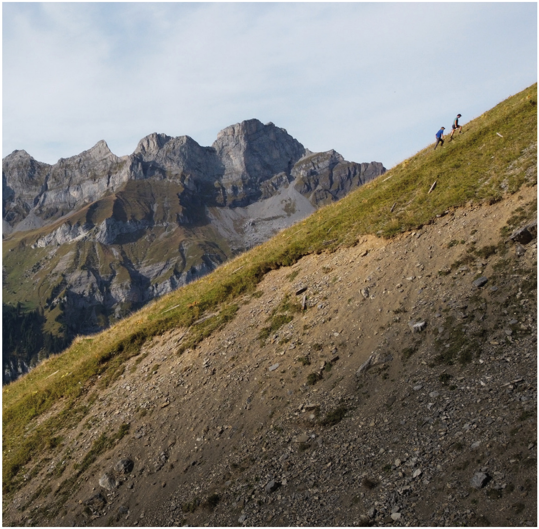
Behind the Horbis lies a short, steep climb to the Zieblenalp.
On the Panoramaweg
The Höhenweg crosses under the Hahnen to the Alp Tagenstall. The landscape becomes increasingly wild and open.
Last climb to the Fürenalp
After the day pasture, the final ascent to the Fürenalp follows. For the return journey, the downhill ride by train is recommended.

Appreciate realistically
Requirements
- Climbing safety on mountain paths
- Condition for more than 1,000 meters of elevation gain
- Enough time for the long crossing
- Earlier start in warm weather
Good to know
Information about the tour
- Especially in the early morning there are good chances of observing wildlife.
- Check the timetable and the last run of the Fürena cable car before the start.
- The slight descent makes the tour comparatively knee-gentle.
Important: Times, difficulties, and road conditions may change. Check current weather, train, hut, and trail information before starting.
Further goals
Similar hiking tours in the Hahnen area

Hahnen 2’606 m
The landmark of Engelberg as a challenging alpine summit hike.
Zieblenspitz 1’909 m
A distinctive round tour from Horbis with a steep final climb and unobstructed views of Engelberg.

Wissigstock 2’886 m
An exciting summit above the Griessengletscher – as a hike from the Rugghubelhütte.
Mountain trails · Trailrunning · HOT
Panorama trail Fürenalp as a trail run
First collect elevation meters, then cross under the trees: The panoramic trail to Fürenalp is one of the most varied running routes on the sunny side of Engelberg. The trail remains a mountain path with uphill sections and narrow passages.
Running characteristics and classification
- From Engelberg, ascend via Horbis and Zieblenzopf to Ober Zieblen. The steep turns must be approached with caution.
- From Ober Zieblen, follow the panoramic path towards Tagenstall and Fürenalp. Stay focused on the intersections.
- Leave some reserve for the final ascent to the mountain station. The train is a good option to avoid the long descent.
Questions about the running variant
Is the panoramic trail continuously accessible?
For experienced trail runners, many sections are runnable. However, steep ascents, narrow crossings, and encounters with hikers always require a slower pace.
Are the walking times also running times?
The time specifications in the tour description are not personal running times. In trail running, they depend especially on experience, running volume, conditions, and breaks. Technical difficulties remain unchanged.