
Paragliding · Wolfenschiessen
Paragliding Diegisbalm & Oberalp – Starting areas & flight area
Two small bird cliffs close off the meadows of Diegisbalm and Oberalp. The guide describes them as alternative options and explicitly does not consider them officially regulated takeoff and landing areas.
- Region
- Wolfenschiessen
- Starting places
- 2
- Takeoff altitudes
- 1099–1414 m according to the Guide
- Exploration
- Cableway and footpath
- Ground base
- Flight Guide 2023
- Airspace
- Check current conditions before every flight
From the flight guide
The flight area
Two small bird cliffs close off the meadows of Diegisbalm and Oberalp. The guide describes them as alternative options and explicitly does not consider them officially regulated takeoff and landing areas.
The alternative is only suitable under appropriate conditions and with clear usage guidelines. A free piece of meadow is not a general permission to start or land.
To the starting point
Arrival & Check-in
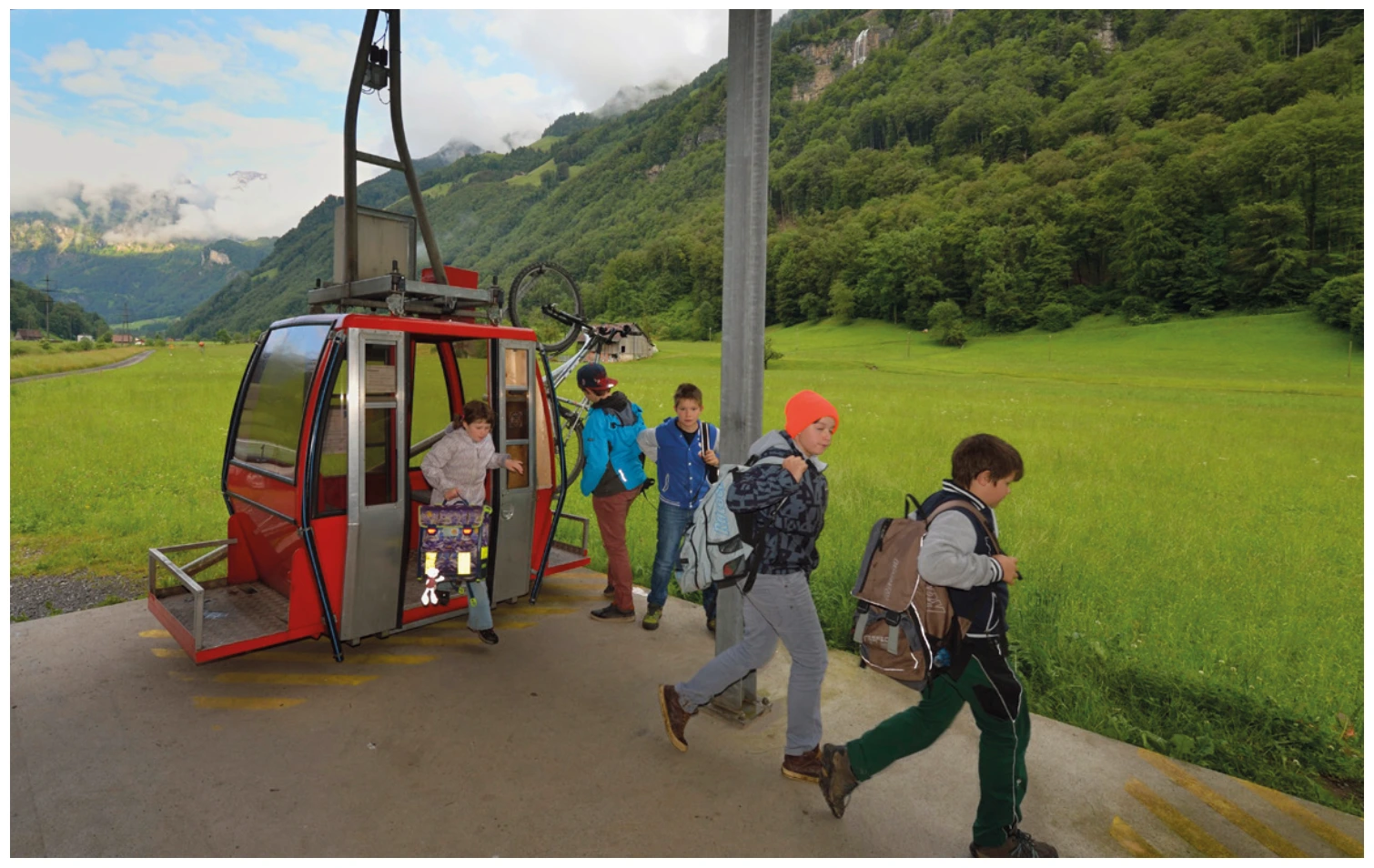
Small parking lot at the valley station of Diegisbalm, access via the bridge from Kantonsstrasse. Take the first train to Diegisbalm; for Oberalp, continue with the second section.
Space for space
The starting positions
Diegisbalm
Climb up a bit from the middle station; the location and route can be seen on the labeled topo.
- Height
- 1099 m (Guide 2023)
- Orientation
- South-east
- Coordinates
- 671’167 / 194’323 (LV03, book entry)
- boarding
- Short walk from the middle station
- underground
- Grass
Before starting, obtain the operator's consent. Side winds are possible in case of thermals and strong valley winds.
Oberalp
Degraded meadow above the second section of the railway line.
- Height
- 1414 m (Guide 2023)
- Orientation
- South-east
- Coordinates
- 670’293 / 194’265 (LV03, book entry)
- boarding
- directly behind the stable at the mountain station
- underground
- Grass
Ask the operator in advance. Pay attention to the cable.
Orientation
Maps, Topos & Images
All associated graphics from the flight guide are fully reproduced here with their labeled instructions. Maps and topographic maps are displayed in their original aspect ratio. Labels, cable instructions, and markings: as of 2023.



Set goals before starting
Landing places
Choose a suitable and permissible landing before takeoff. The places linked here are area options and do not guarantee the availability of any landing spot.
Base station Diegisbalm
The guide describes a possible landing strip directly at the Diegisbalm valley station. It is not explicitly presented as an official landing site.
View details ↗
Neufallenbach / Büelen
Neufallenbach is the landing site described in the guide for Büelen and an alternative for Diegisbalm and Oberalp. Several flight schools use the terrain.
View details ↗Appreciate realistically
Requirements & Notes
- According to the guide, the Talstationswiese Diegisbalm is only usable after being mowed; otherwise, plan to use the designated landing spot at Neufallenbach instead.
- The PDF contains different phone numbers in different text formats, graphics, and tables for the respective owners. Therefore, these are not displayed as current contacts.
Further planning
Sources & current information
Source: Flugguide Engelbergertal, Erich Lötscher & Dani Perret, 1st edition 2023, pages 28, 29, 30, 31, 36, 37. Text has been revised by the editorial team for this overview. Photos, maps and labeled topographic features from the provided guide; source of maps according to the imprint: Federal Office for Land Surveying / © swisstopo. The image captions reflect the current status as of 2023.
← To the paragliding overview EngelbergertalAll paragliding contributions




