
Paragliding · Landing area · Beckenried
Paragliding landing area Beckenried / Upper Allmend
The landing area is located above the shooting range at the Oberen Allmend. Landings are permitted on the designated meadow with a windsock.
- Place
- Beckenried
- Type
- Landing place
- Height
- 480 m according to the Klewenalp Flight Area Table
- Data basis
- Guide 2023
Orientation
Landing area & approach
The labeled graphic shows the landing area and the shooting range. Keep the Acropilots' maneuvering box free over the lake; plan your own landing area with sufficient reserve.
From the flight guide
Map, Volten & Pictures
The graphic includes the original markings of the 2023 guide. Wind-dependent obstacles, obstacles, landing area, and usage rules before the flight on site are confirmed.
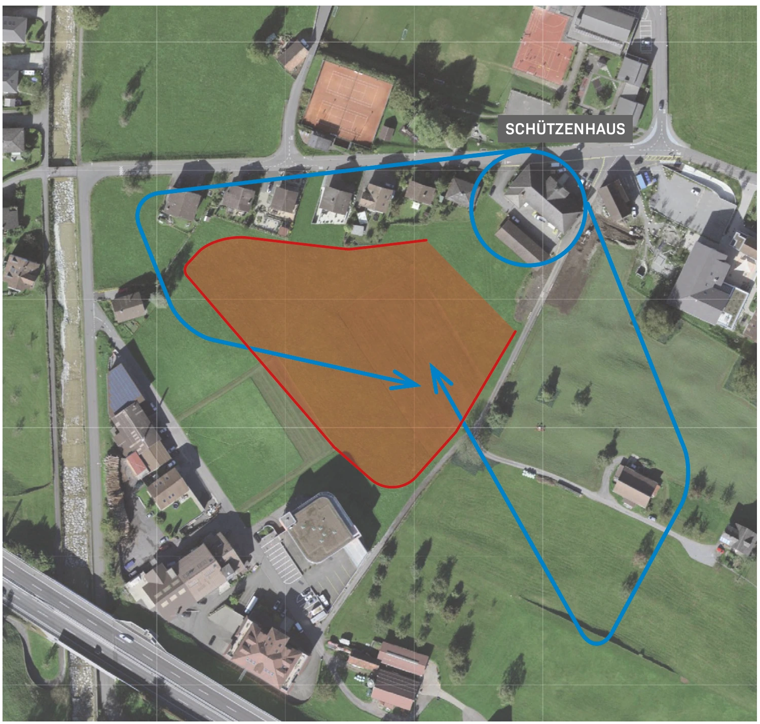
Clarify before landing
Important notes
- CTR Buochs and the current SHV special regulation for Beckenried to be examined.
- The maneuvering area above the lake is not an area suitable for normal elevation changes.
After landing
Wrinkles & Return Journey
The guide mentions a five-minute walk back to the Klewenalpbahn.
Suitable starting positions
Related flight areas
Klewenalp
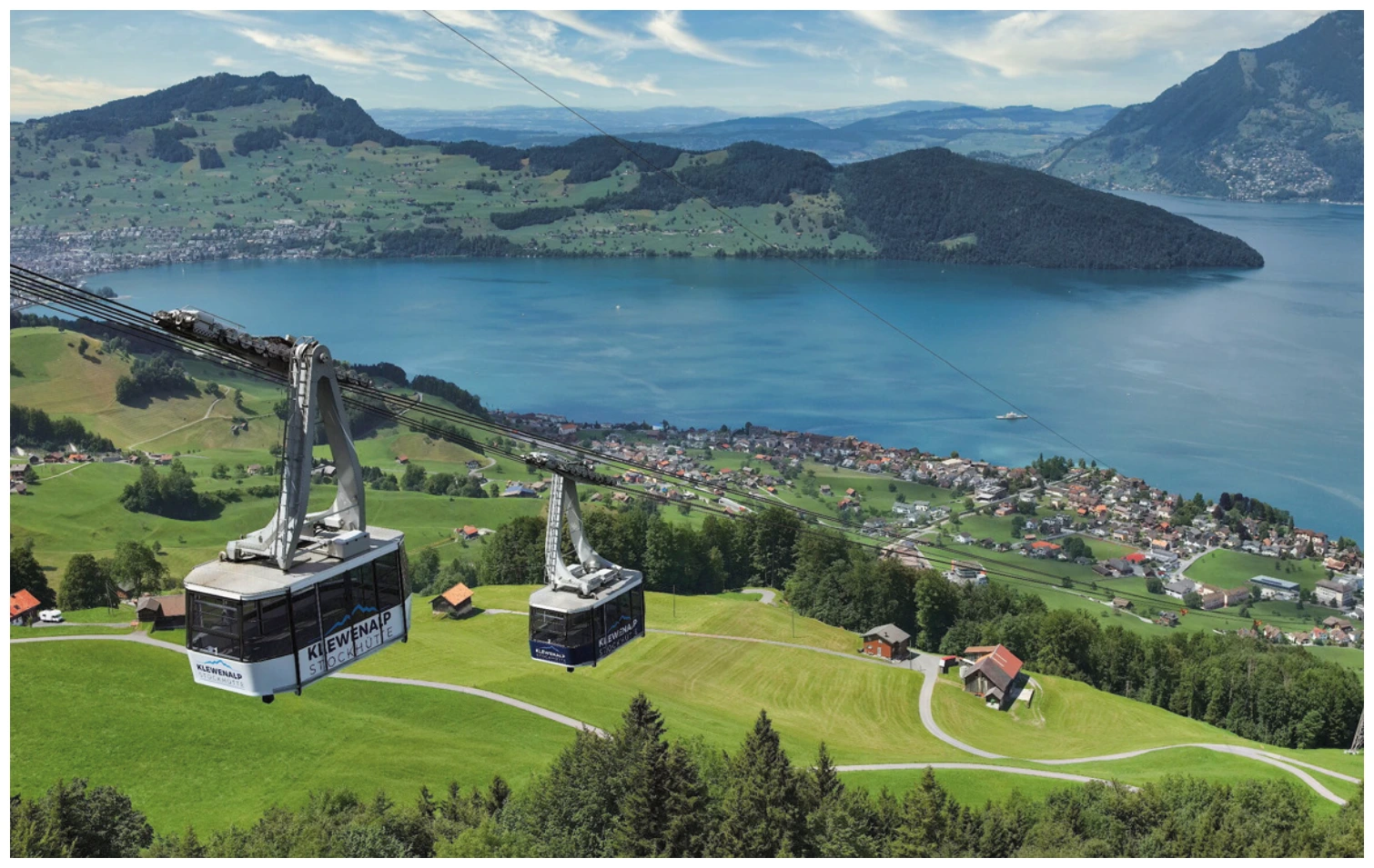
From Klewenalp, the view opens up over Lake Vierwaldstättersee. The Nordstartwiese is located east of the mountain station; the landing area is in Beckenried near the Oberen Allmend.
View details ↗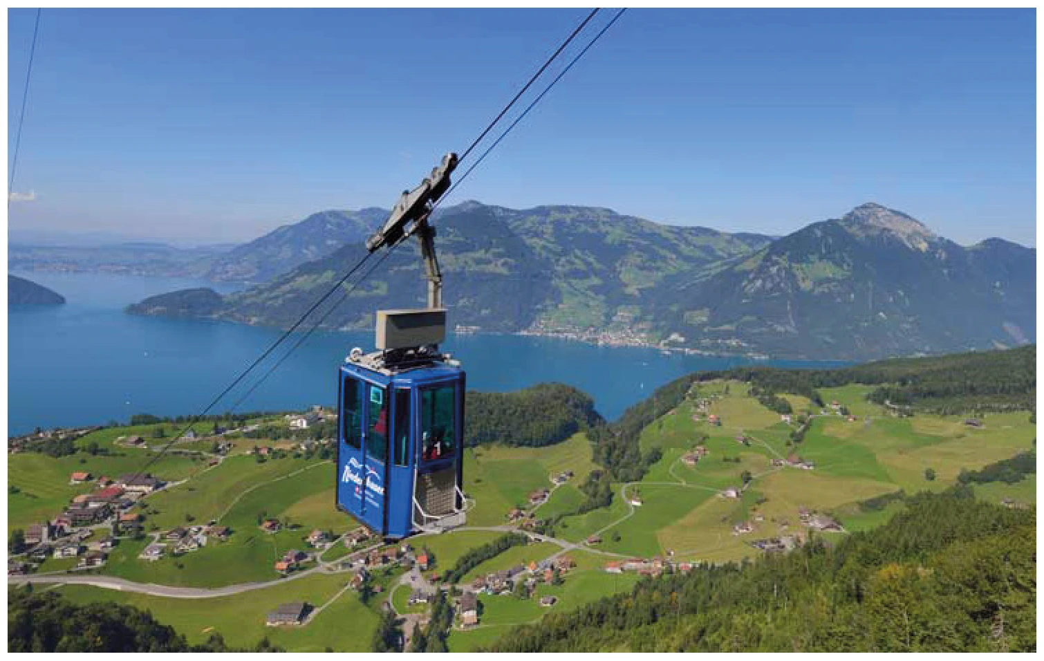
Niederbauen
There are three starting points directly in the area of the Niederbauen mountain station near Emmetten. The guide describes the northern start as the standard option, adding two southern alternatives with significantly different requirements.
View details ↗Further planning
Sources & current information
Basis: Flugguide Engelbergertal, Erich Lötscher & Dani Perret, 1st edition 2023, pages 66. Text has been revised by the editorial team for this overview. Photos, maps and labeled topographic maps from the provided guide; source of maps according to the imprint: Federal Office for State Topography / © swisstopo. The image captions reflect the current status as of 2023.




