
Paragliding · Emmetten
Glider Lowering – Launch sites & Flight area
There are three starting points directly in the area of the Niederbauen mountain station near Emmetten. The guide describes the northern start as the standard option, adding two southern alternatives with significantly different requirements.
- Region
- Emmetten
- Starting places
- 3
- Takeoff altitudes
- 1570 m according to the guide
- Exploration
- Cableway and footpath
- Ground base
- Flight Guide 2023
- Airspace
- Check current conditions before every flight
From the flight guide
The flight area
There are three starting points directly in the area of the Niederbauen mountain station near Emmetten. The guide describes the northern start as the standard option, adding two southern alternatives with significantly different requirements.
It is popular to fly along the Emmetten valley in the evening light. The guide mentions Soaring in the case of north winds and thermal flights towards Oberbauenstock and Schwalmis. Flights westwards can be affected by CTR Buochs.
To the starting point
Arrival & Check-in
To the Niederbauen valley station in Emmetten. With full parking, the guide mentions the village square as an alternative, about a five-minute walk away. Please observe the current parking regulations and the train timetable.
Space for space
The starting positions
North
Spacious, sloping meadow with a panoramic view of the lake. Often used by flight schools and tandem pilots.
- Height
- 1570 m (Guide 2023)
- Orientation
- North / North-East
- Coordinates
- 683’563 / 200’111 (LV03, book entry)
- boarding
- Directly at the mountain station
- underground
- Grass
Coordinate dense startup operations.
South-east
South-facing pasture, the usable area of which may be restricted by fences.
- Height
- 1570 m (Guide 2023)
- Orientation
- South-east
- Coordinates
- 683’602 / 200’033 (LV03, book entry)
- boarding
- Compared to the northern start
- underground
- Grass
Hazardous in strong winds; cows and fences to be observed.
South-west
Flat terrain to lay out, immediately followed by a steeper slope.
- Height
- 1570 m (Guide 2023)
- Orientation
- South-west
- Coordinates
- 683’510 / 200’004 (LV03, book entry)
- boarding
- in the area of the mountain station
- underground
- Grass
Steep transition after landing; assess glide reserve and take-off path independently.
Orientation
Maps, Topos & Images
All associated graphics from the flight guide are fully reproduced here with their labeled instructions. Maps and topographic maps are displayed in their original aspect ratio. Labels, cable instructions, and markings: as of 2023.

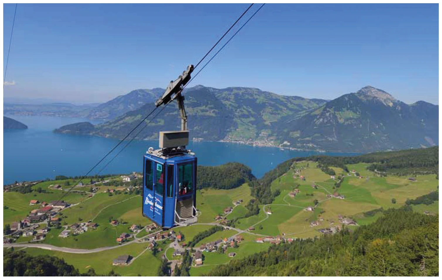

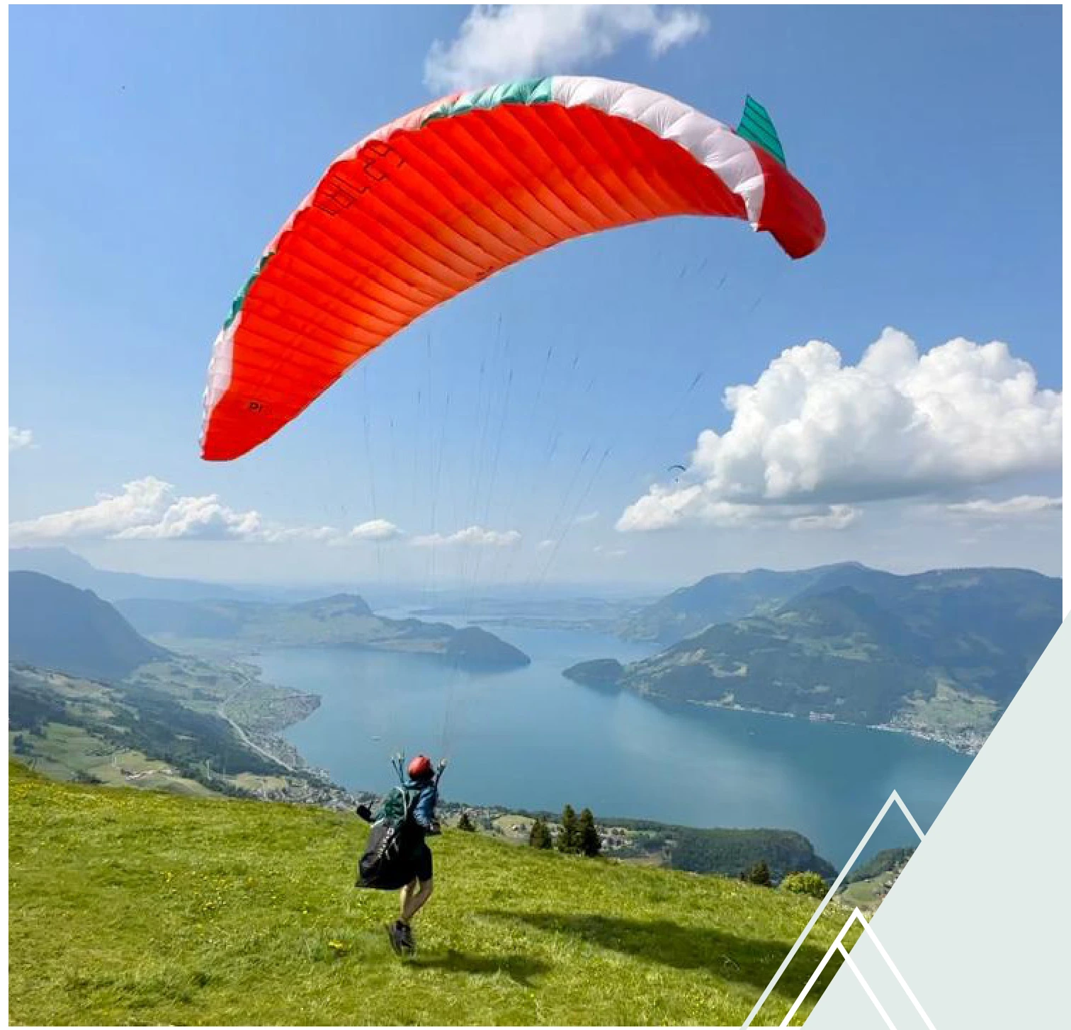
Set goals before starting
Landing places
Choose a suitable and permissible landing before takeoff. The places linked here are area options and do not guarantee the availability of any landing spot.
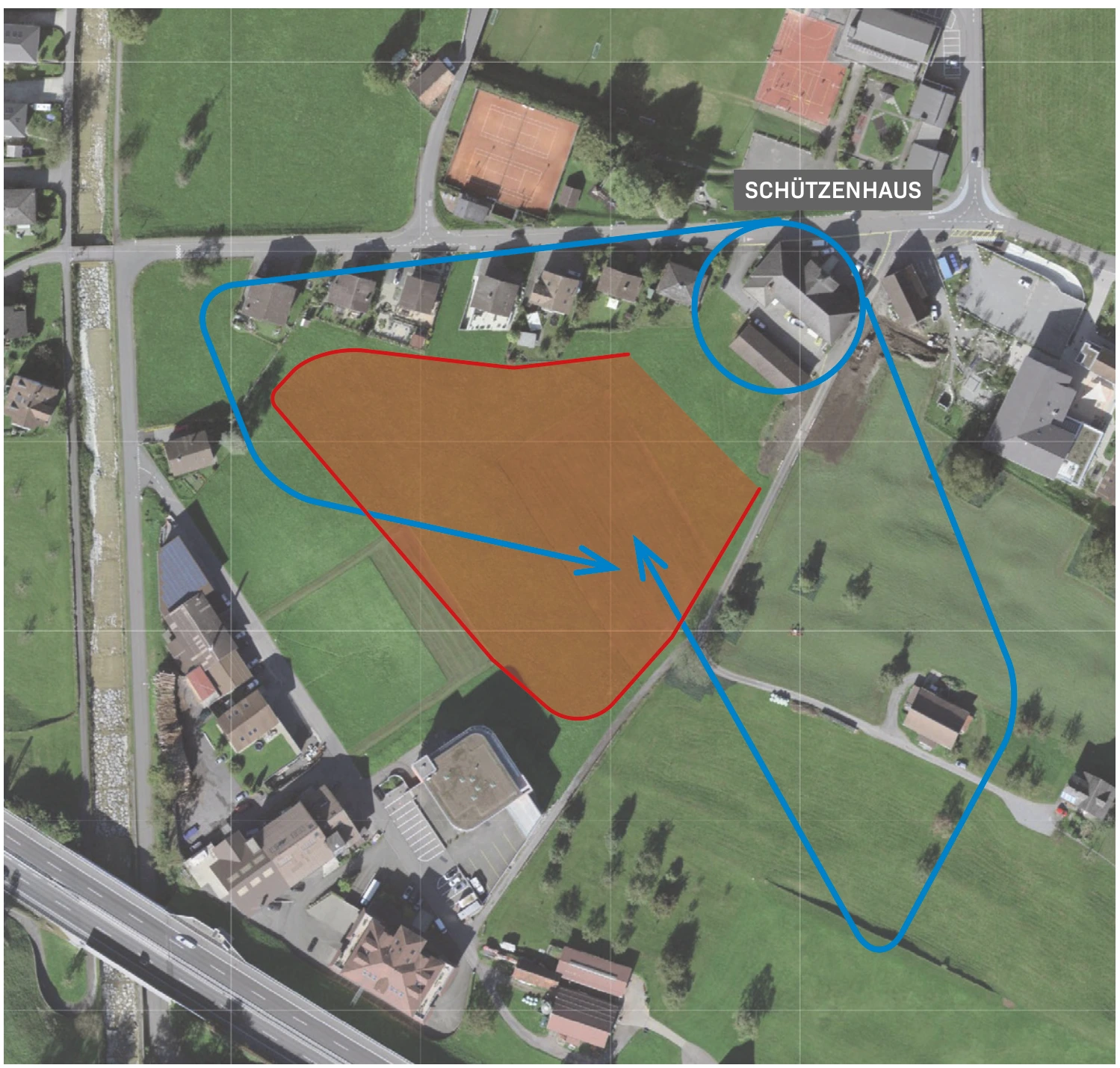
Beckenried / Upper Allmend
The landing area is located above the shooting range at the Oberen Allmend. Landings are permitted on the designated meadow with a windsock.
View details ↗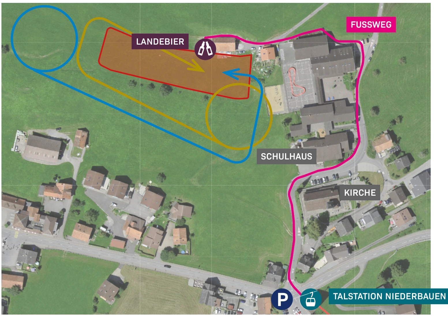
Berggrind Emmetten
The main playing field of Niederbauen is located near the school buildings in Emmetten. According to the guide, the field slopes slightly.
View details ↗
Gruob Emmetten
Gruob is located below the Niederbauen valley station and is described in the guide as an alternative landing site. A right turn is marked on the topo map.
View details ↗Appreciate realistically
Requirements & Notes
- Near the Alphütte Tritt, a steeply sloping cable runs.
- Do not read the Bucha statement regarding flights to Beckenried as a blanket permission: check the current airspace status and necessary coordination.
- There are separate start options and usage agreements for Hike & Fly on the Niederbauen Chulm; these will be described separately later.
Further planning
Sources & current information
Basis: Flugguide Engelbergertal, Erich Lötscher & Dani Perret, 1st edition 2023, pages 66, 68, 69, 70, 71, 72, 73, 74, 75. Text for this overview has been revised by the editorial team. Photos, maps and labeled topographic maps from the provided guide; source of maps according to the imprint: Federal Office for Land Surveying / © swisstopo. The image captions reflect the status as of 2023.
← To the paragliding overview EngelbergertalAll paragliding contributions




