
Learn multi-pitch climbing · Bettlerstock · Engelberg
Brunni climbing learning trail – first multi-pitch routes on the Bettlerstock
The Brunni climbing learning trail offers manageable pitches for taking your first steps in multi-pitch climbing. The two parallel routes, the Kletter-Lernpfad and the Mungg, lead over three outlying towers on the north-west side to the summit of the Bettlerstock.
Short pitches and close-set bolt protection create good conditions for practising rope handling, belaying and stance procedures. An experienced companion can walk alongside and supervise the rope team well. To finish, there are two abseil lines with varying degrees of exposure to choose from.
- Difficulty
- 4c · 4a COMP.
- Length
- 4 pitches each
- boarding
- from Brunnihütte approx. 30 minutes
- Routes
- Climbing Learning Trail & Marmot
- Ascent / Summit
- approx. 2040 / 2100 m
- Season
- May to October · subject to conditions
- Exhibition
- North-West
- Character
- practice route · short pitches
The grade 4c applies to the described routes. Harder variants are also marked in the topo. Starting altitude according to the detailed map.
Finding the right starting point
Access description


From Brunnihütte to Bettlerstock
From the Brunni hut you climb up towards Bettlerstock. Allow approximately 30 minutes for the approach. The overview map and the detailed map complement each other for orientation.
Past the material depot
The detail map shows a material depot and, further back, a block with practice climbing walls. Follow the marked access route around the rocks to the start of the route. The first visible rock outcrop is not automatically the correct starting point.
match the start with the topo
According to the detailed map, the start is at approximately 2,040 m at the Swiss coordinates 674’150 / 189’025 (LV03). The routes are marked in white. Before starting to climb, compare your position and the two lines with the topo.
Towers, variants and abseil lines
Topo Climbing Learning Trail Brunni
The topo shows the two parallel lines across the towers, the walking sections and the final steep section to the summit. At the Bettlerstock, neighbouring crag routes and harder variants are also marked. For the easier summit variant, use the line graded 4b for orientation.

Insights into the tour
Brunni Climbing and Learning Trail Gallery
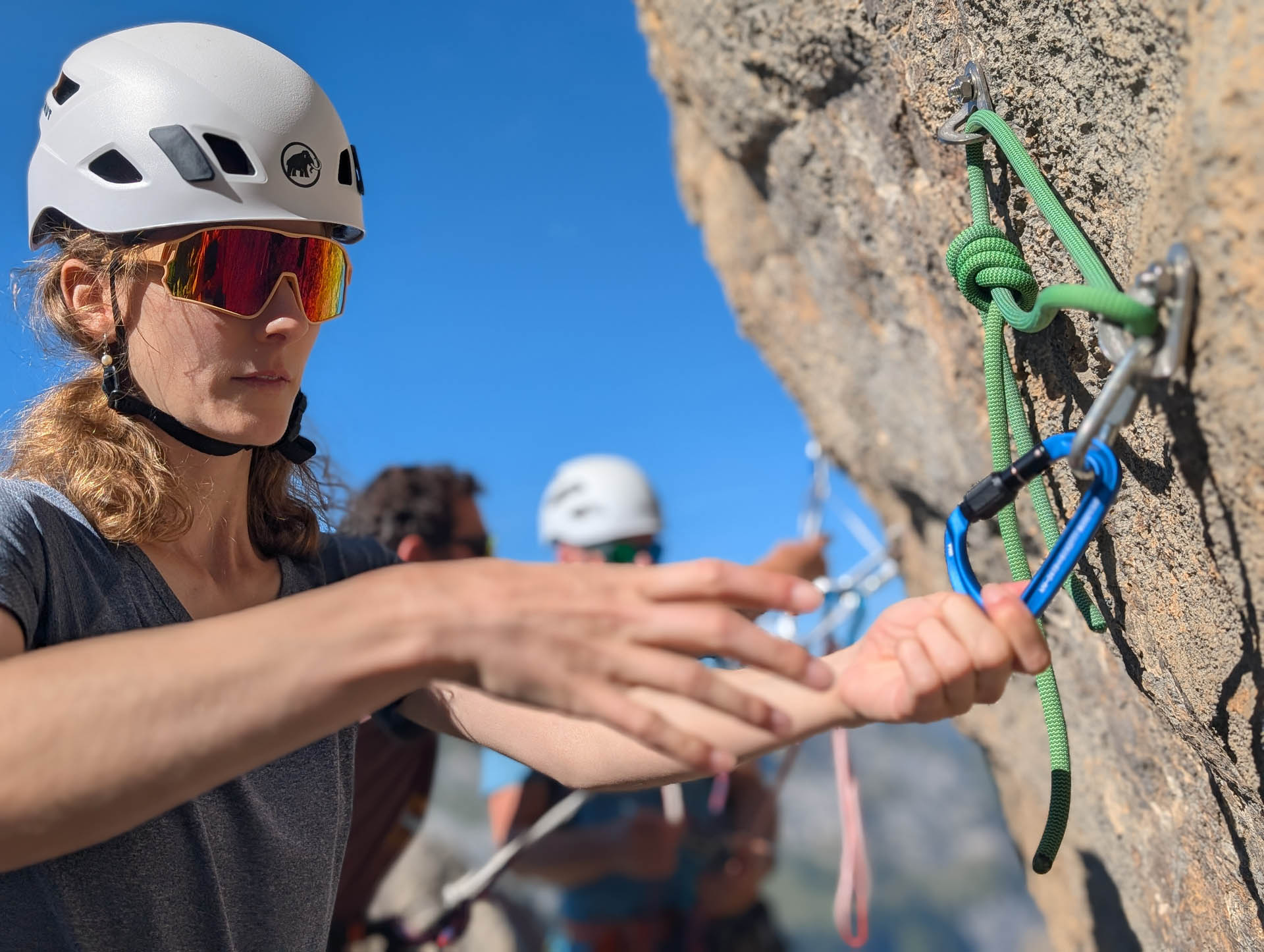
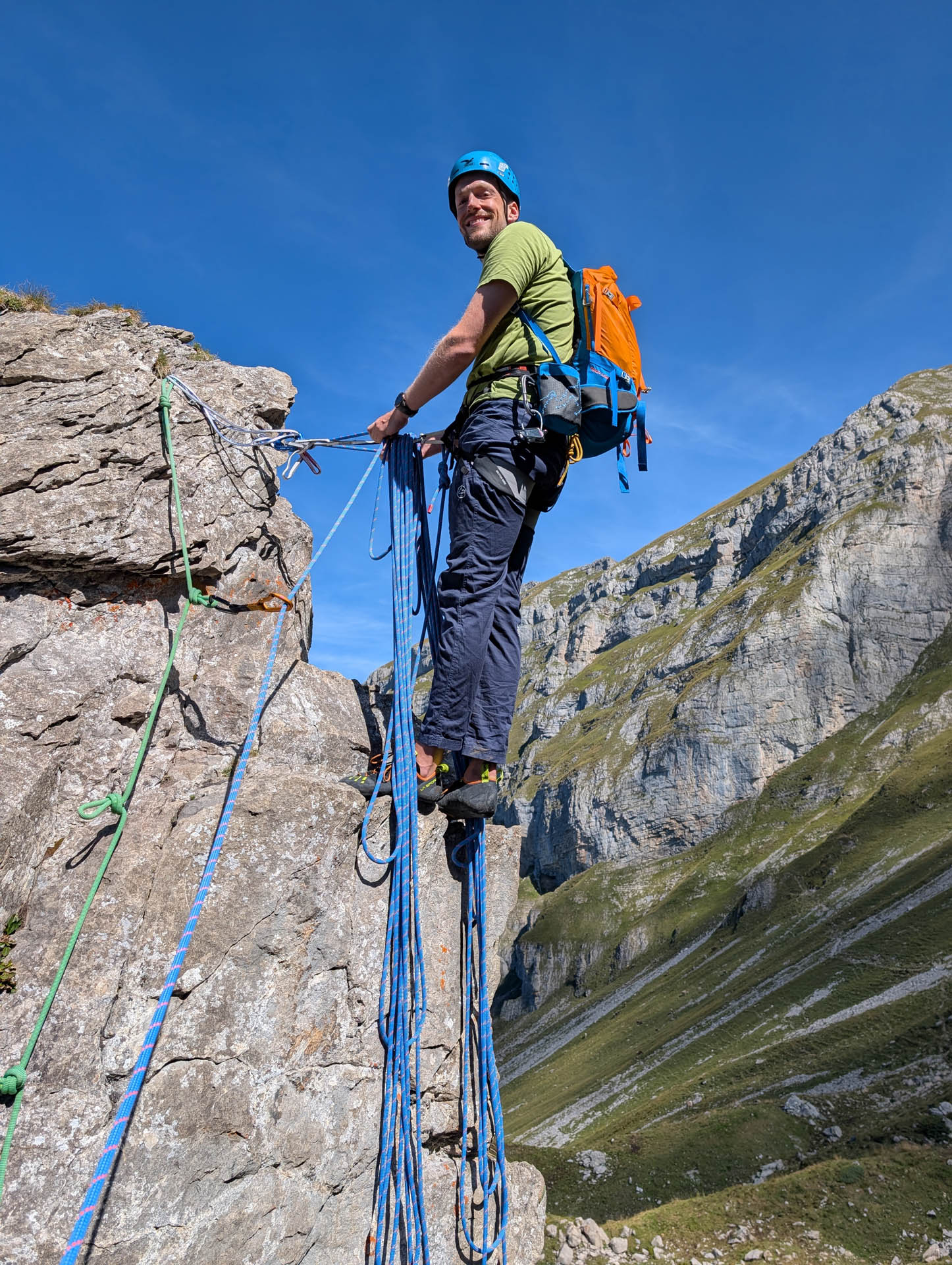
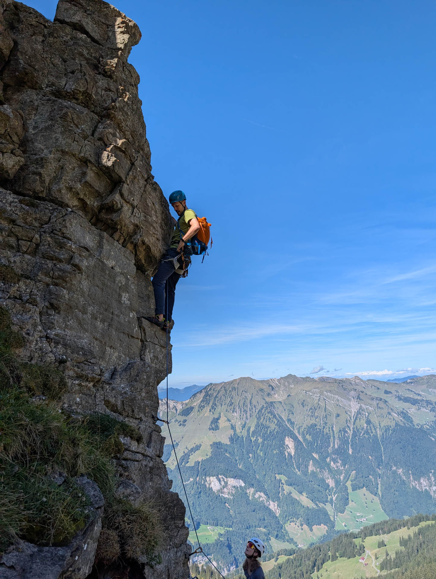
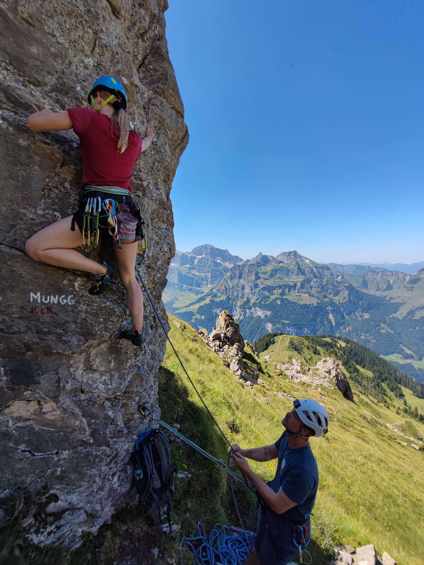


Two parallel practice lines
Climbing routes on the Bettlerstock
Both routes each offer four pitches up to 4c, with 4a compulsory. They run parallel and allow two rope teams to climb and practice next to each other.
climbing learning path
- Compulsory.
- 4a
- Hedging
- Very good · Bolts approx. every 1–2 m
- Rope
- 1 × 50 m
- Material
- 8 quickdraws
The left-hand route starts at 4a. Straightforward climbs and short rope lengths give you the opportunity to consolidate your belay station routines and your handling of the rope and carabiners.
First ascent: F. Krummenacher and D. Perret, spring 2016.
Mungg
- Compulsory.
- 4a
- Hedging
- Very good · Bolts approx. every 1–2 m
- Rope
- 1 × 50 m
- Material
- 8 quickdraws
The parallel line starts at 4b. It is also suitable for training and supervised first multi-pitch climbs. Two rope teams can climb both routes simultaneously.
First ascent: F. Krummenacher and D. Perret, spring 2016.
Choose the appropriate line
Abseiling: Easy Line and Adventure Line
From the Bettlerstock, two abseil routes lead down. For both, a rope of at least 50 metres is recommended. The easier line is called in the topo Easy Line; Dani also calls them «Chicken Line».
Easy Line / Chicken Line«
The less exposed route is the better choice if you have little abseiling experience – provided you are accompanied by an experienced guide. On the east face, a fixed chain about three metres long leads to the first belay station. From there, according to the topo, the route continues in two 25-metre pitches up the east face into the couloir.
Adventure Line
The steep abseil route leads out of the recess at the summit down via the classic south face route: twice 22 metres and once 10 metres. The final belay ledge requires a slight pendulum swing due to the overhang. This exposed line is intended for experienced abseilers.
After abseiling, the way back leads to the Brunnihütte. Use the map for orientation back to the approach area.
A good place to learn
Requirements
- Basic knowledge of climbing and belaying or expert instruction
- Safe climbing at the mandatory grade of 4a
- Experienced guidance in learning multi-pitch procedures
- surefootedness between the towers and on the approach
- safe abseiling technique or direct supervision
- For the Adventure Line: already existing abseiling routine
The short pitches are also suitable for families with children who climb. Whether the tour is suitable depends on experience, supervision and the safe handling of the exposed sections.
For practice, climbing and abseiling
Equipment
- At least 1 × 50 m climbing rope; check actual length for the abseiling sections
- 8 quickdraws
- climbing harness, climbing helmet and climbing shoes
- Belay and rappelling device with matching equipment for backup belay
- locking carabiners, tape slings and personal tether
- Suitable approach shoes
- Topographic map, overview map and detailed map offline
- Weather-appropriate clothing, drinks and food
Good to know
Questions about the Brunni climbing trail
Is the Brunni multi-pitch climbing learning path suitable for a first multi-pitch climb?
Yes. Short rope lengths and tight protection offer good conditions for learning anchor building, rope handling, and belaying under experienced guidance.
How difficult are the climbing learning path and Mungg?
Both routes are graded 4c with 4a compulsory, and each consist of four pitches. Harder variants are also marked on the topo.
How do I get started?
From the Brunnihütte, allow about 30 minutes. Be sure to use the detailed map showing the equipment depot and practice stations. The start is on the northwest side and is marked in white.
Which abseil line is easier?
The Easy Line on the east side is less exposed. In the mountain guide tip, it is also called the «Chicken Line» and involves abseiling twice for 25 metres. Beginners still need experienced supervision there.
Who is the Adventure Line suitable for?
For climbers with prior abseiling experience. It leads steeply up the south face and features a slightly pendulum-swing passage at the final belay.
What material do I need?
Plans include at least one 50-metre rope and eight quickdraws, alongside personal climbing and abseiling equipment. The actual rope length must be sufficient for the specified abseiling stages.
Can two rope teams climb at the same time?
Yes. The climbing learning trail and Mungg run parallel. This allows two cordées to practise side by side.
Alpine multi-pitch routes above Engelberg
Brunni climbing learning trail with mountain guide
Would you like to climb your first multi-pitch routes or gain more confidence in the procedures? At the Bettlerstock, we practise rope handling, belay station organisation and abseiling directly on the rock. We adapt the pace and exercises to your ability.

Further goals for your development
Similar climbing routes
Further climbing destinations around Engelberg. These routes are more demanding than the training path: compare climbing grade, length and alpine requirements.

Mousetowers
Climbing on the striking rock pillars of the Musenalp.
View tour
Lauchernstock «Messer»
Another tour for days with more alpine experience.
View tour
Sunnigberggrat
Scrambling on the Nünalphorn as a further alpine objective.
View tour
Sättelistock South-East Face
Longer and more demanding routes for experienced rope parties.
View tour


