
Alpine climbing · Lauchernstock · Engelberg
Lauchernstock East Ridge Messer – airy ridge climbing above Engelberg
The Lauchernstock East Ridge «Messer» certainly lives up to its name: a narrow rock crest, exposed climbing sections and sweeping views over Engelberg and the Bannalp characterise the tour. The route combines classic ridge climbing with an impressive summit destination.
The climbing is predominantly in the fourth grade; the final summit pitch is graded 5a in the topo. Expansion bolts protect the notable climbing sections. In between, the alpine terrain requires sure-footedness, appropriate rope management and experience on exposed ridges.
- Difficulty
- mostly grade 4 · up to 5a in the topo
- Touring characteristics
- Alpine ridge traverse
- boarding
- from Rugghubelhütte approx. 1 hr 30 min
- Time required
- Guide price 5–7 hours · Please note the scope of the tour
- Start of term
- Schlitchuechen
- Season
- June to October · depending on conditions
- Aspect
- East
- Return journey
- Cave · Abseiling · Towards Brunni
The climbing sections are described according to the linked topo. It shows a summit pitch up to 5a; the older textual rating of IV+ does not cover this section. The duration depends on the starting point, rope team speed and the return route.
From the Rugghubel hut to the Schlitchuechen
Access description

Rugghubel hut as a starting point
The marked route starts at the Rugghubelhütte. You need to factor in the preceding trail from Ristis or Brunni in addition to the actual tour.
To go ice skating
From the hut, the route leads north according to the map to the Schlitchuechen. For this section, the topo indicates about one and a half hours. In the upper approach, climbing sections of grade two as well as a chain and anchor bolts are marked.
Head for the start of the ridge
The east ridge starts at the schlictuche. Cross-reference the first steps with the topo and set up your belay to suit the exposed terrain.
rises, knife-edge and abseil route
Topo Lauchernstock East Ridge Knife-edge
The topo shows the ridge from the Schlitchuechen to the summit, the faint paths in the subsequent section and the abseil route through the cave. The times given are for guidance only.

Walking a tightrope
Gallery


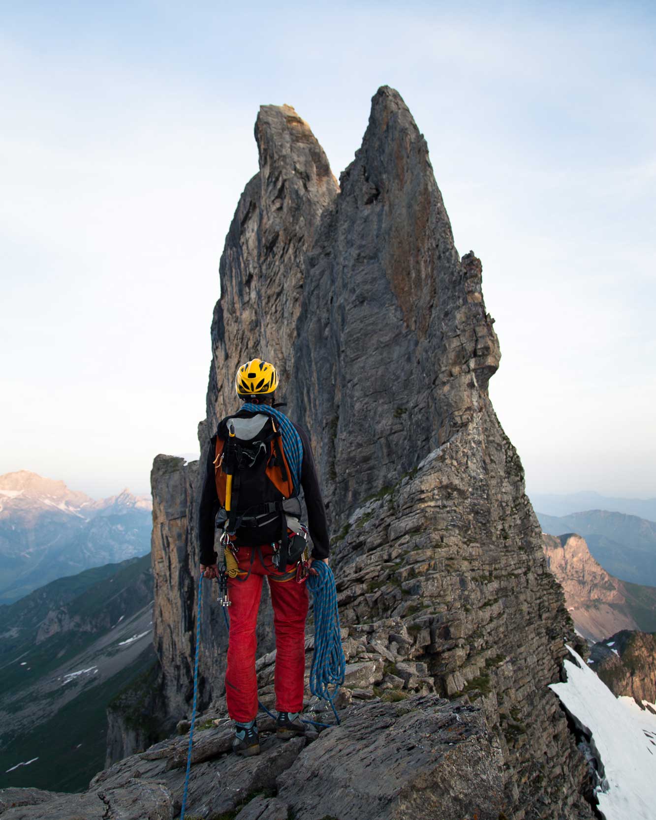
A classic alpine ridge climb
The route over the knife-edge
Lauchernstock East Ridge «Knife»
- Character
- exposed ridge climb
- Hedging
- bolts at the climbing spots
- Knife
- 4c · 45 m
- final stretch to the summit
- 5A · 25 m
The route's character is defined by its narrow line and the alternation between short, steeper sections and easier ridge terrain. The good protection on individual sections does not replace alpine safeguarding techniques at the transitions.
Initial upturns
The first pitch is marked as 4c and 20 metres, the second as 4b and 10 metres. In between, the route follows the ridge.
The knife
The eponymously named rock edge offers a 45-metre-long passage of grade 4c. Nine bolt anchors are marked for this in the topo. The exposed position makes this section particularly impressive.
To the summit
After easier terrain at grade 3a, the 25-metre-long summit pitch follows at 5a. The route remains alpine even after the summit: route-finding to the abseil point and the return journey are part of the overall planning.
Through the cave and back towards Brunni
Descent and abseiling
From the summit, the marked route leads westwards via faint tracks on the north side to the cave abseil point. The topo states this takes approximately 30 minutes. On the map, the location is marked with the Swiss coordinates 677’291 / 189’734 (LV03).
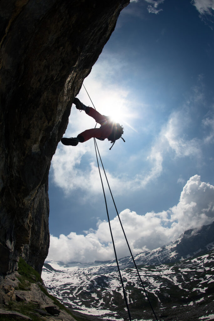
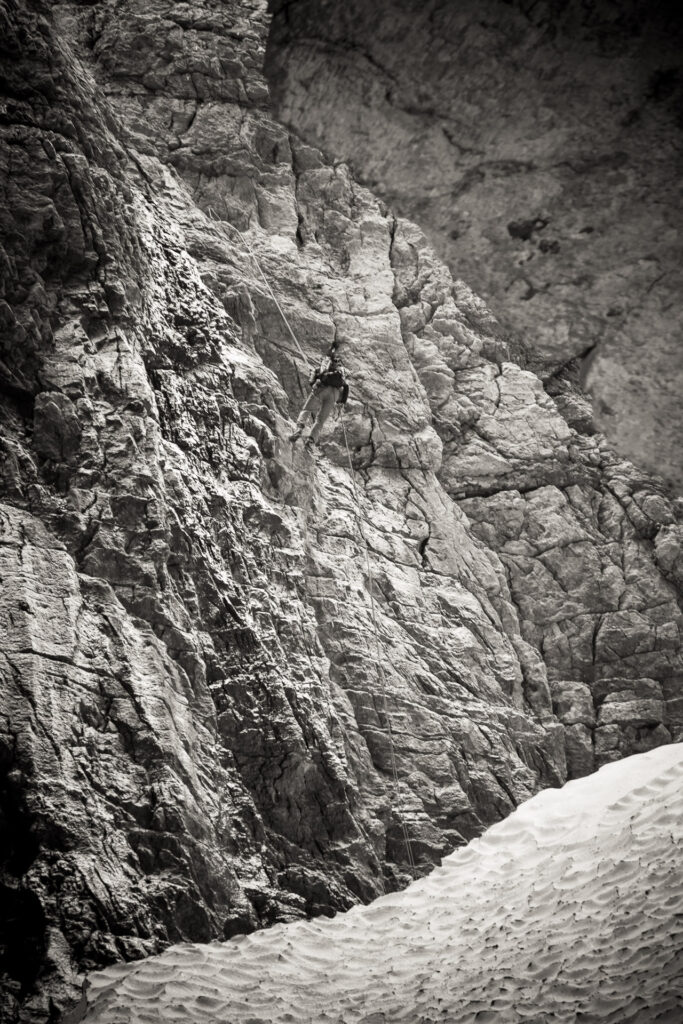
The first abseil pitch leads through the cave. Further abseil sections follow; the topo contains several 25-metre indications. Check the belays and the exact route before each stage.
After the abseiling route, according to the map, the way leads down via Laucheren to the hiking trail and onwards in the direction of Brunni or Ristis. This page thus describes the marked round trip on the Engelberg side.
Safe on narrow ridges
Requirements
- Safe climbing at grade four and tackling the summit ridge up to 5a
- Experience with exposed ridge climbing and alpine rope technique
- Surefootedness and a head for heights
- Navigation on footpaths and in pathless terrain
- Routine for multi-pitch abseiling
- Stamina for the approach, climbing and the full return journey
The tour is suitable for climbers with alpine experience or for a correspondingly planned mountain guide tour. The challenge arises from the entire traverse and not just from the highest climbing grade.
For ridge and abseil route
Equipment
- 1 × 50 m climbing rope
- 7 quickdraws
- climbing harness, climbing helmet and climbing shoes
- belay and rappel device with backup equipment
- locking carabiners, tape slings and personal tether
- Suitable mountaineering boots for approach, faint trails and return journey
- Map and topo offline
- Head torch, weather protection, warm clothing, drinks and provisions
Good to know
Questions about the Lauchernstock East Ridge knife-edge ridge
How difficult is the knife at the Lauchernstock?
The climbing is predominantly at grade four. The topo indicates 4c on the 45-metre-long razor-sharp edge and 5a on the 25-metre-long summit pitch.
Where does the approach path begin?
The variant described here starts at the Rugghubelhütte and leads to the Schlitchuechen in about an hour and a half. The path from Ristis or Brunni to the hut is in addition to this.
Is the route bolted?
The exposed climbing sections are equipped with expansion bolts. The ridge traverses and easier alpine terrain nevertheless require appropriate belaying techniques.
How does the descent take place?
According to the map and topo, the route leads from the summit via path traces on the north side westwards to the cave abseil point. After abseiling, the marked circuit leads via Laucheren to the hiking trail towards Brunni.
How long does the tour take?
Five to seven hours serves as a guideline. Plan your actual duration based on the starting point, the approach to the hut, your climbing pace and the abseil return route; the time frame is not a guarantee for the whole tour from the valley.
Is the tour suitable for beginners?
Without alpine experience, the exposed ridge sections and the abseil descent are demanding. With a mountain guide, the tour can be planned to suit your ability and experience.
Alpine multi-pitch routes above Engelberg
Lauchernstock «Messer» with mountain guide
Would you like to climb the knife-edge ridge and gain experience on exposed ridges? Together we will work on rope technique, belaying, route finding and moving efficiently in alpine terrain. We will plan the tour to match your ability.

The next ridge
Similar climbing routes
More climbing days around Engelberg. Compare length, protection and alpine requirements with your experience.

Gross Walenstock North Ridge
Another alpine ridge tour with an impressive summit destination.
View tour
Sunnigberggrat
Rock climbing between Engelberg and Melchtal.
View tour
Mousetowers
Airy climbing across several towers near Niederrickenbach.
View tour
Lauchernstock South Face
Further climbing routes on the same mountain with a different character.
View tourLauchernstock East Ridge «Messer» climbing tour»
Contents
The east ridge of the Lauchernstock, better known as the «Messer», is one of the most impressive alpine rock climbs in Central Switzerland. The narrow ridge line above the Bannalp offers airy climbing, spectacular drops and a true alpine adventure.
True to its name: for long stretches you move along a sharp ridge with impressive views of the Uri Alps, the Engelberg valley and the Bannalp. The route is captivating not only because of its exposed alignment, but also due to its wild and lonely atmosphere.
The climbing is predominantly at grade four. Individual sections must be climbed obligatorily at grade four and require confident movement in alpine rock terrain. The route is well protected with expansion bolts; nonetheless, alpine experience, a sure foot and a head for heights are prerequisites.
The approach leads from the Rugghubel hut via the Gross Sättelistock to the start at around 2,000 m above sea level. After traversing the Lauchernstock, there are various descent options towards Bannalp. Particularly impressive is the abseil passage through the cave on the north side.
Tour details
- Grade: IV+ (IV mandatory)
- Alpine climbing
- Climbing length: approx. 450 vertical metres
- Time required: 5–7 hours
- Starting point: approx. 2,000 m above sea level.
- Season: June to October
- Exhibition: East
- Requirements: Surefootedness, a head for heights and experience in alpine terrain
Tour characteristics
The Lauchernstock East Ridge is a classic ridge tour for climbers who love exposed lines and airy climbing. The combination of a narrow ridge, alpine atmosphere and impressive views makes the route one of the finest outings around Engelberg and the Bannalp.
Especially the sections right on the ridge crest provide a unique experience and convey a true high-alpine feeling.
Map & Topo
Pictures


More alpine climbing routes around Engelberg
Anyone who enjoys the Lauchernstock East Ridge will also like these tours:
- Gross Walenstock North Ridge
- Rigidalstock traverse
- Spannort traverse
- Wissberg
- Salbitschijen South Ridge
- Schlossberg East Ridge
- Gross Spannort
These routes are among the finest classic alpine climbing routes in Central Switzerland and offer varied climbing in a striking mountain landscape.
Out with a mountain guide
The Lauchernstock East Ridge is ideally suited for gaining experience in alpine climbing and moving along exposed ridges. Together, we will work on rope techniques, belaying techniques, route finding and moving efficiently in alpine terrain.




